Land Surface Temperature (LST) Calculation in QGIS using Landsat 8/9
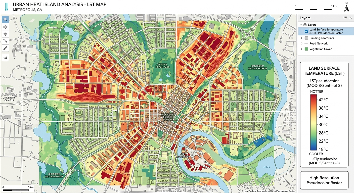
Land Surface Temperature (LST) Calculation in QGIS using Landsat 8/9 Introduction When calculating Land Surface Temperature QGIS Landsat datasets, remember that LST is the temperature of the Earth’s surface as measured by a thermal remote-sensing sensor. Unlike air temperature measured by a weather station, LST describes the temperature of the land surface itself—for example, a … Read more