PyGIS Starter Guide: GeoPandas vs. Shapely for Vector Data Analysis

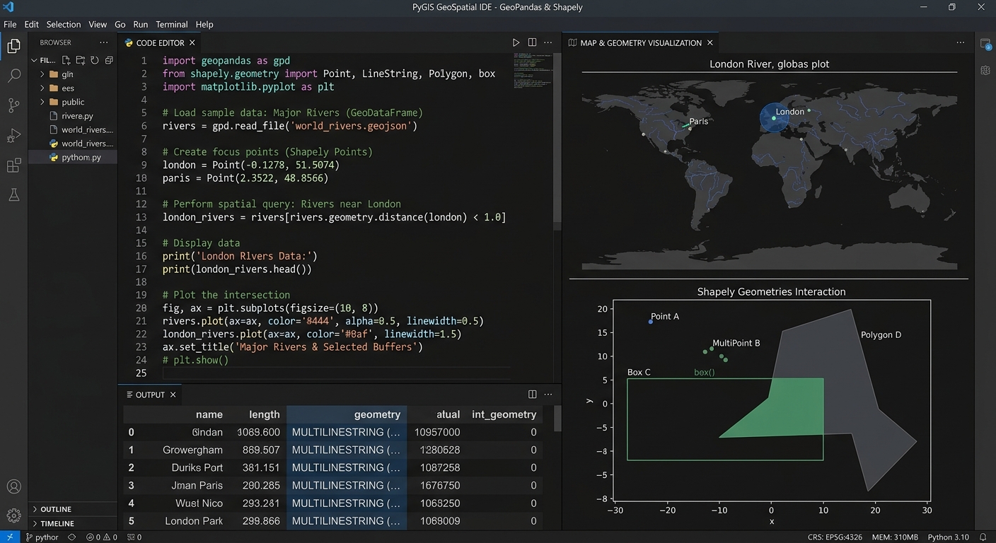
GeoPandas vs Shapely PyGIS

PyGIS Starter Guide: GeoPandas vs. Shapely for Vector Data Analysis   1. Introduction: Why Learn Open-Source Python GIS? Using tools like GeoPandas vs Shapely PyGIS, traditional GIS applications such as QGIS and ArcGIS provide powerful frameworks for mapping, spatial analysis, and data management. However, when you need to repeat an analysis across hundreds of datasets, combine … Read more

Spatial Autocorrelation (Global Moran’s I) in GIS: Interpretation Guide

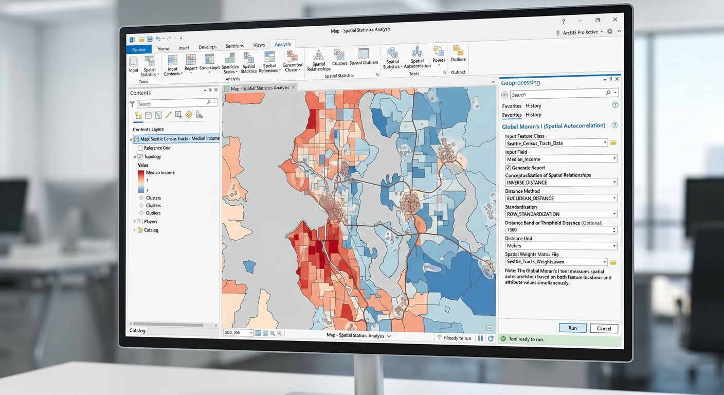
Global Morans I Spatial Autocorrelation GIS

Spatial Autocorrelation (Global Moran’s I) in GIS: Interpretation Guide 1. Introduction: Why Does Location Matter? Imagine mapping malaria incidence across several districts. Some districts report high incidence, while others report low incidence. When the high-incidence districts are located near one another, the pattern may indicate spatial clustering. If neighbouring districts have contrasting incidence levels, the … Read more

Sentinel-2 vs. Landsat 9 for Vegetation Monitoring: Key Differences & Band Combinations

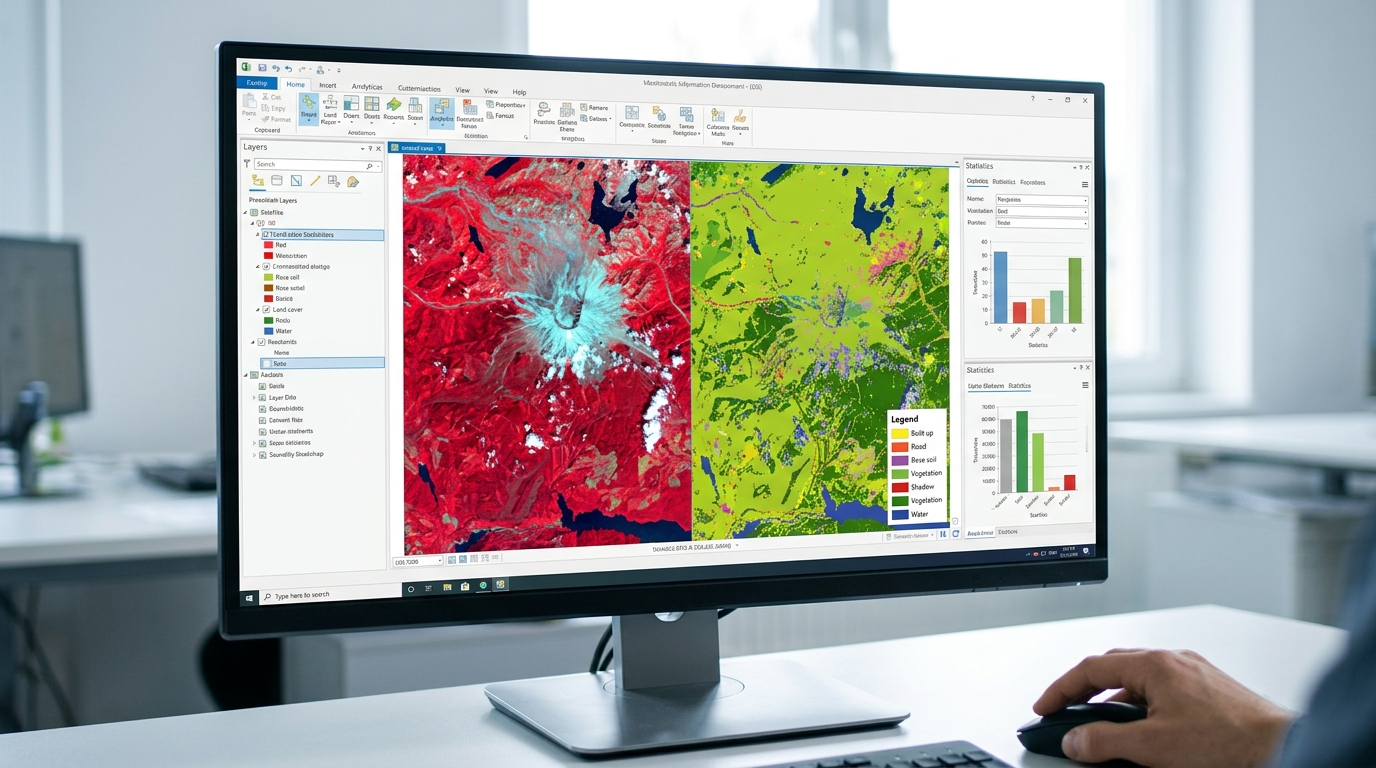
Sentinel-2 vs Landsat 9 Vegetation Monitoring

Sentinel-2 vs. Landsat 9 for Vegetation Monitoring: Key Differences & Band Combinations   1. Introduction: Why Sentinel-2 and Landsat 9 Matter for Vegetation Monitoring Satellite remote sensing has become an essential tool for monitoring vegetation, mapping land use and land cover (LULC), assessing crop health, and studying forest change. Two of the most widely used … Read more

Supervised vs Unsupervised Image Classification GIS methods are essential because satellite images contain enormous amounts of information

Supervised vs. Unsupervised Image Classification: Ultimate Beginner’s Guide Introduction: Why Image Classification Matters Supervised vs Unsupervised Image Classification GIS methods are essential because satellite images contain enormous amounts of information, but a raw image does not automatically tell us which pixels represent forest, water, buildings, cropland, or bare soil. Image classification converts the spectral information … Read more

Land Surface Temperature (LST) Calculation in QGIS using Landsat 8/9

Land Surface Temperature QGIS Landsat

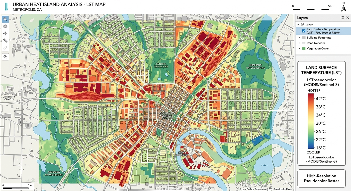
Land Surface Temperature (LST) Calculation in QGIS using Landsat 8/9 Introduction When calculating Land Surface Temperature QGIS Landsat datasets, remember that LST is the temperature of the Earth’s surface as measured by a thermal remote-sensing sensor. Unlike air temperature measured by a weather station, LST describes the temperature of the land surface itself—for example, a … Read more

How to Build & Edit Geodatabase Topology Rules in ArcGIS Pro

Geodatabase Topology Rules ArcGIS Pro

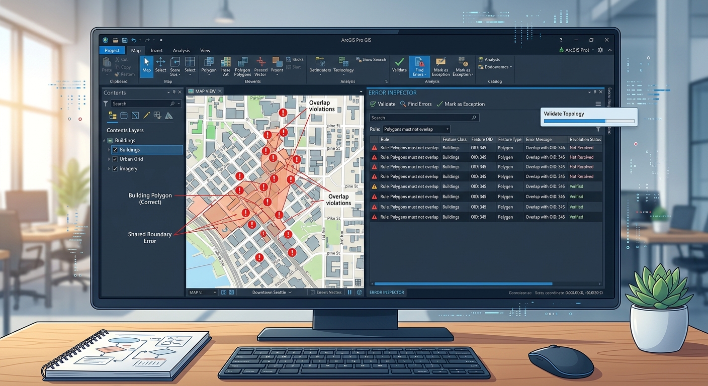
How to Build & Edit Geodatabase Topology Rules in ArcGIS Pro   1. Introduction: Why Geodatabase Topology Matters When mastering Geodatabase Topology Rules ArcGIS Pro workflows, Imagine digitizing administrative boundaries for a university GIS assignment. You create several adjacent polygons representing wards. One polygon slightly overlaps its neighbour, while another leaves a narrow gap between … Read more

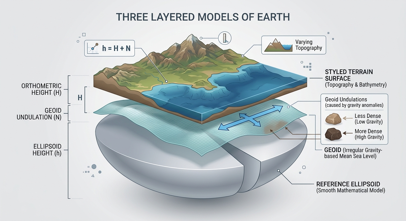
Understanding Coordinate Reference Systems (CRS): Datum Transformations & EPSG Codes Explained

Coordinate Reference Systems Datum Transformations EPSG

Understanding Coordinate Reference Systems (CRS): Datum Transformations & EPSG Codes Explained   1. Introduction: Why Coordinate Reference Systems Matter in GIS When exploring Coordinate Reference Systems Datum Transformations EPSG concepts, Imagine you are creating a GIS map of a river catchment. You import a river network, a digital elevation model (DEM), administrative boundaries, and satellite … Read more