Spatial Point Pattern Simulation and Monte Carlo Testing in Python

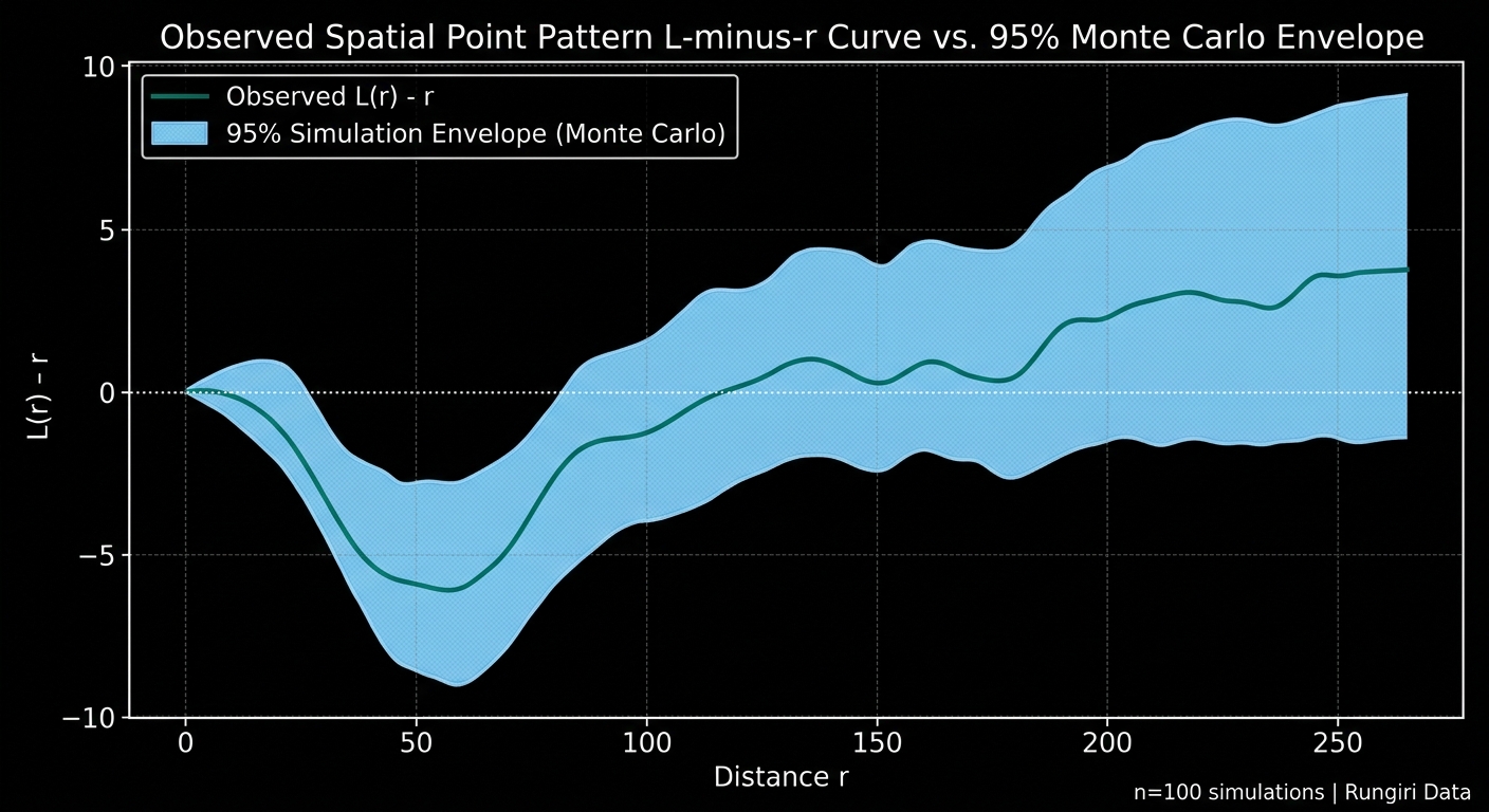
Spatial point pattern simulation Python chart showing Monte Carlo simulation envelopes and Ripley's K results

Spatial Point Pattern Simulation and Monte Carlo Testing in Python 1. Introduction Spatial Point Pattern Simulation Python methods provide a robust framework for evaluating whether an observed distribution differs significantly from a specified random spatial model. A map of disease cases, retail stores, crime incidents, wildlife sightings, or traffic accidents may reveal apparent spatial clusters. … Read more

Automating Map Export Loops with ArcPy and PyQGIS

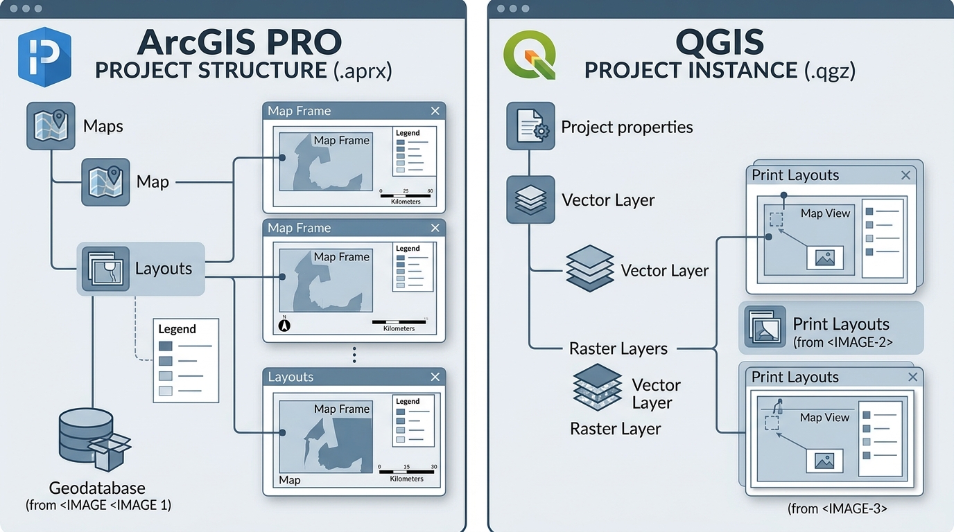
Automating Map Export Loops with ArcPy and PyQGIS

Automating Map Export Loops with ArcPy and PyQGIS GIS Coding Tutorial · Python Automation · ArcGIS Pro · QGIS Introduction Imagine you have 50 administrative districts, and each district requires its own map showing boundaries, roads, settlements, a north arrow, a scale bar, a legend, and a descriptive title. When dealing with dozens of administrative … Read more

How to Publish Free Interactive Maps with qgis2web and GitHub Pages

How to Publish Free Interactive Maps with qgis2web and GitHub Pages

How to Publish Free Interactive Maps with qgis2web and GitHub Pages How to Publish Free Interactive Maps with qgis2web and GitHub Pages makes turning a static geographic information system (GIS) project into a live, shareable web application effortless without writing custom JavaScript from scratch. Today, GIS professionals, urban planners, and students can bridge desktop GIS and … Read more

Drone Photogrammetry Workflow: Processing UAV Imagery into Orthomosaics and Point Clouds

Drone Photogrammetry Workflow: Processing UAV Imagery into Orthomosaics and Point Clouds Practical UAV Mapping Tutorial · Photogrammetry · WebODM · Pix4D · QGIS · ArcGIS Pro Introduction A drone photogrammetry workflow transforms overlapping aerial photographs into accurate, georeferenced mapping products, including orthomosaics, point clouds, digital surface models (DSMs), and 3D mesh models. Unmanned aerial vehicles … Read more

Introduction to Cloud-Native Geospatial Formats: COGs & GeoParquet

Introduction to Cloud-Native Geospatial Formats: COGs & GeoParquet 1. Introduction: Why cloud-native geospatial formats matter Traditional GIS workflows were designed around files stored on local disks, but cloud-native geospatial formats address these bottlenecks. Formats such as standard GeoTIFF and ESRI Shapefile remain useful, but their conventional storage and access patterns can become bottlenecks when applications … Read more

Client-Side Spatial Analysis in Web GIS Using Turf.js and Mapbox GL JS

Client-Side Spatial Analysis in Web GIS Using Turf.js and Mapbox GL JS 1. Introduction to Client-Side Spatial Analysis in Web GIS Using Turf.js and Mapbox GL JS Traditional web GIS applications often send spatial queries to a backend service, which processes the request using a spatial database or geoprocessing engine before returning the results to … Read more

Building Custom Leaflet Control Widgets for Interactive Spatial Filtering

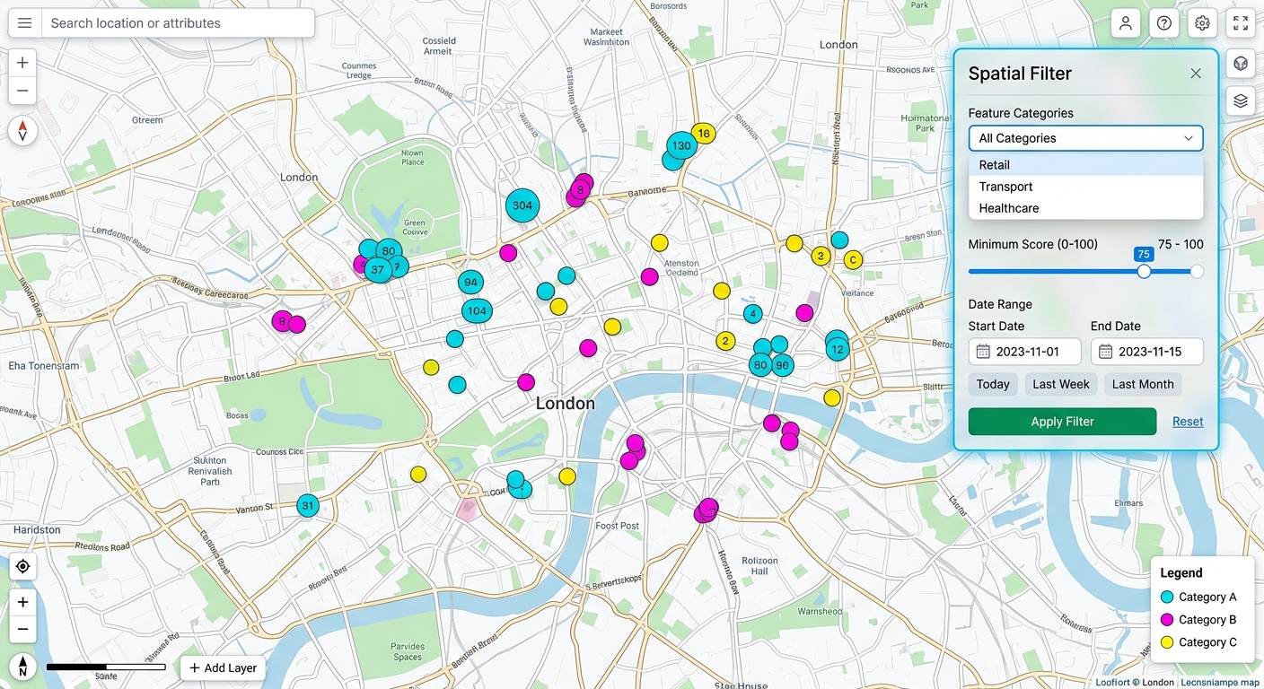
Building Custom Leaflet Control Widgets for Interactive Spatial Filtering user interface preview on a web map

Building Custom Leaflet Control Widgets for Interactive Spatial Filtering: Introduction 1.Building Custom Leaflet Control Widgets for Interactive Spatial Filtering: Introduction Leaflet provides built-in map controls for zooming, layer selection, scale display, and attribution. These controls are essential for navigation, but advanced Web GIS applications often require more specialized interactions. Consider a web mapping application used … Read more

Vector Tiles vs Traditional Raster Tiles: GIS Performance

Vector Tiles vs Traditional Raster Tiles: GIS Performance Introduction: The Evolution of Web Mapping Tiles Web mapping systems must deliver geographic information quickly while supporting smooth navigation, readable labels, and interactive spatial features. From national-scale basemaps to urban infrastructure dashboards, the tile architecture used to deliver map data has a direct impact on bandwidth consumption, … Read more

Time Series Analysis of Satellite Imagery Using the Google Earth Engine Python API

Time Series Analysis of Satellite Imagery Using the Google Earth Engine Python API Introduction: Cloud-Native Remote Sensing for Multi-Year Analysis Monitoring vegetation dynamics, agricultural productivity, deforestation, drought, and land-cover change often requires satellite observations collected over multiple years. Processing this data locally can quickly become computationally expensive, particularly when an analysis involves thousands of satellite … Read more