Normalized Difference Water Index NDWI vs MNDWI QGIS: A Practical Water Mapping Guide
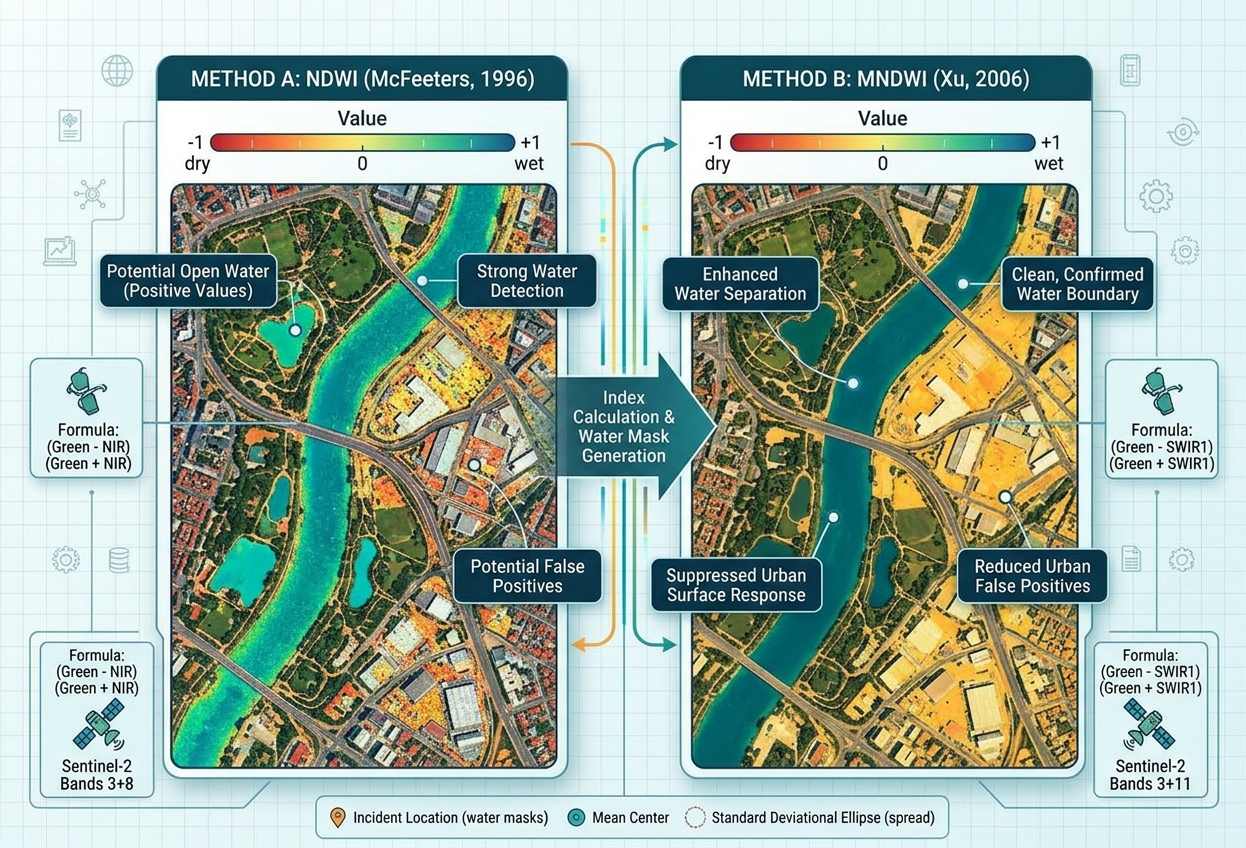
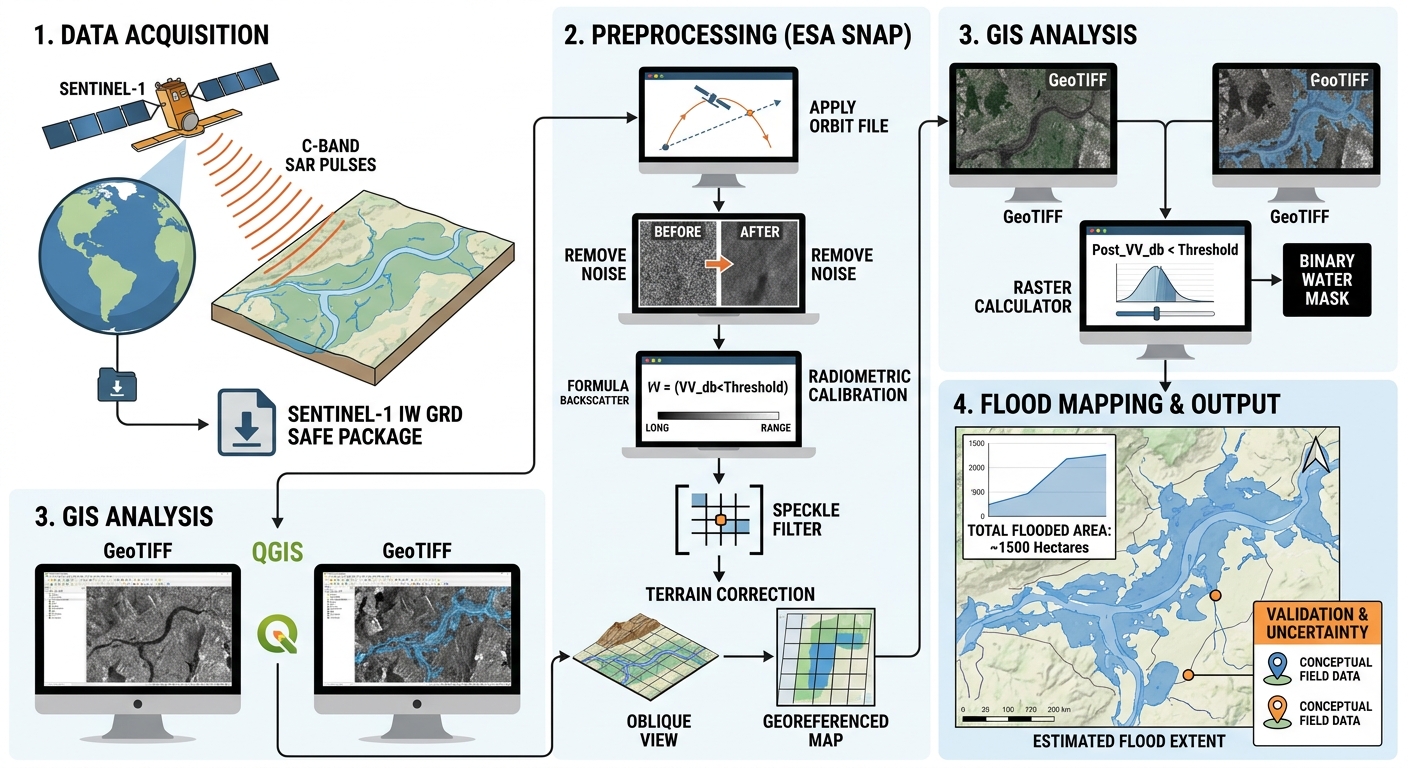
Normalized Difference Water Index NDWI vs MNDWI QGIS: A Practical Water Mapping Guide 1. Introduction: Why Map Water Bodies Using Satellite Imagery? To effectively NDWI vs MNDWI water mapping GIS workflows, it is important to understand. Accurately identifying water bodies from satellite imagery is an important task in hydrology, environmental management, disaster response, and … Read more