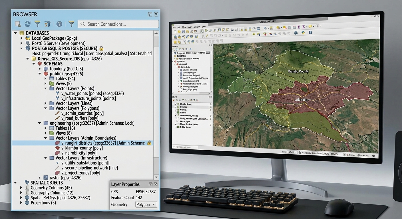
Building Multi-User Spatial Databases: Managing User Roles & Permissions in PostgreSQL

Multi-User Spatial Databases in PostgreSQL connection setup and layer browsing interface in QGIS.

Building Multi-User Spatial Databases: Managing User Roles & Permissions in PostgreSQL   1. Introduction: Managing a Shared Spatial Database Building Multi-User Spatial Databases in PostgreSQL is essential for organizations sharing geospatial datasets securely across teams. Imagine a county government maintaining a central spatial database containing land parcels, roads, water pipelines, building footprints, and zoning boundaries. … Read more
Cost-Distance & Least-Cost Path Analysis in ArcGIS Pro & QGIS

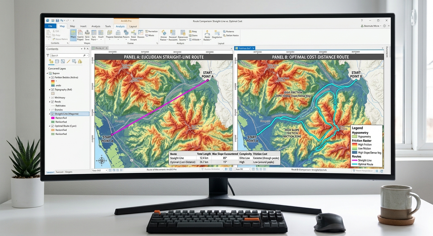
Least-Cost Path Analysis friction surface raster example showing weighted slope and land cover cost inputs.

Cost-Distance & Least-Cost Path Analysis in ArcGIS Pro & QGIS 1. Introduction: What Is Least-Cost Path Analysis? Imagine a transportation agency planning a new road between two towns. The shortest route on a map might cross steep mountains, wetlands, protected habitats, or densely developed neighborhoods. Although geographically short, that route could be expensive to construct … Read more

How to Convert Elevation Contour Lines into a DEM/TIN in QGIS & ArcGIS Pro

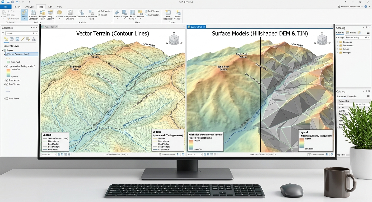
Side-by-side comparison of spatial models when you Convert Elevation Contour Lines into a DEM TIN in ArcGIS Pro.

How to Convert Elevation Contour Lines into a DEM/TIN in QGIS & ArcGIS Pro Introduction: Why Convert Contour Lines into a Terrain Surface? Convert Elevation Contour Lines into a DEM TIN efficiently using this complete workflow for topographic vector features in GIS. They are commonly found on topographic maps and are used to represent landforms … Read more

How to Write a GIS Methodology Section for Your University Dissertation or Thesis

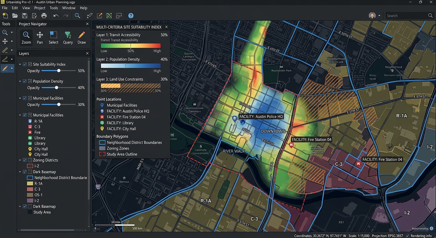
Interface view of a GIS software canvas showing multi-criteria spatial overlay analysis layers.

How to Write a GIS Methodology Section for Your University Dissertation or Thesis Introduction: Why Your GIS Methodology Matters How to Write a GIS Methodology Section for Your University Dissertation or Thesis involves much more than being judged solely by the quality of your maps or the sophistication of your spatial analysis. Examiners also need … Read more

Converting Excel CSV Coordinates into Shapefiles Programmatically with Python

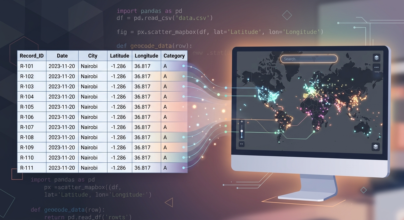
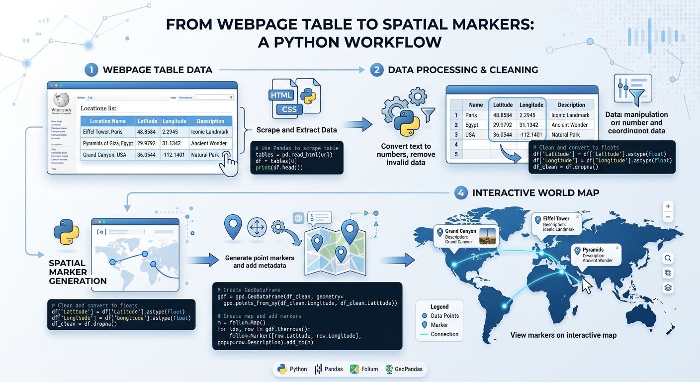
Conceptual workflow showing how to Convert Excel CSV Coordinates into Shapefiles Programmatically with Python.

Converting Excel CSV Coordinates into Shapefiles Programmatically with Python Converting Excel CSV Coordinates into Shapefiles Programmatically with Python saves time when you regularly receive tabular GIS data as spreadsheets containing latitude and longitude values. With Python, pandas, GeoPandas, and Shapely, you can automate the entire workflow: read the table, clean the coordinates, create point geometries, … Read more

Buffer Analysis vs. Service Area Analysis: Which Proximity Tool Should You Use?

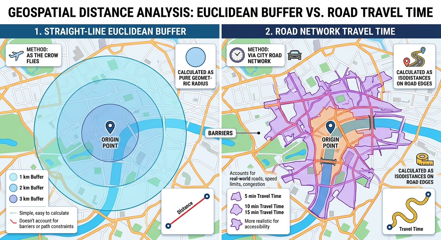
Buffer Analysis vs Service Area Analysis

Buffer Analysis vs. Service Area Analysis: Which Proximity Tool Should You Use? Introduction: Understanding Proximity Analysis in GIS Buffer Analysis vs Service Area Analysis is one of the most important comparisons when examining proximity and accessibility in Geographic Information Systems (GIS). . It helps researchers, planners, and decision-makers understand how locations relate to nearby features, … Read more

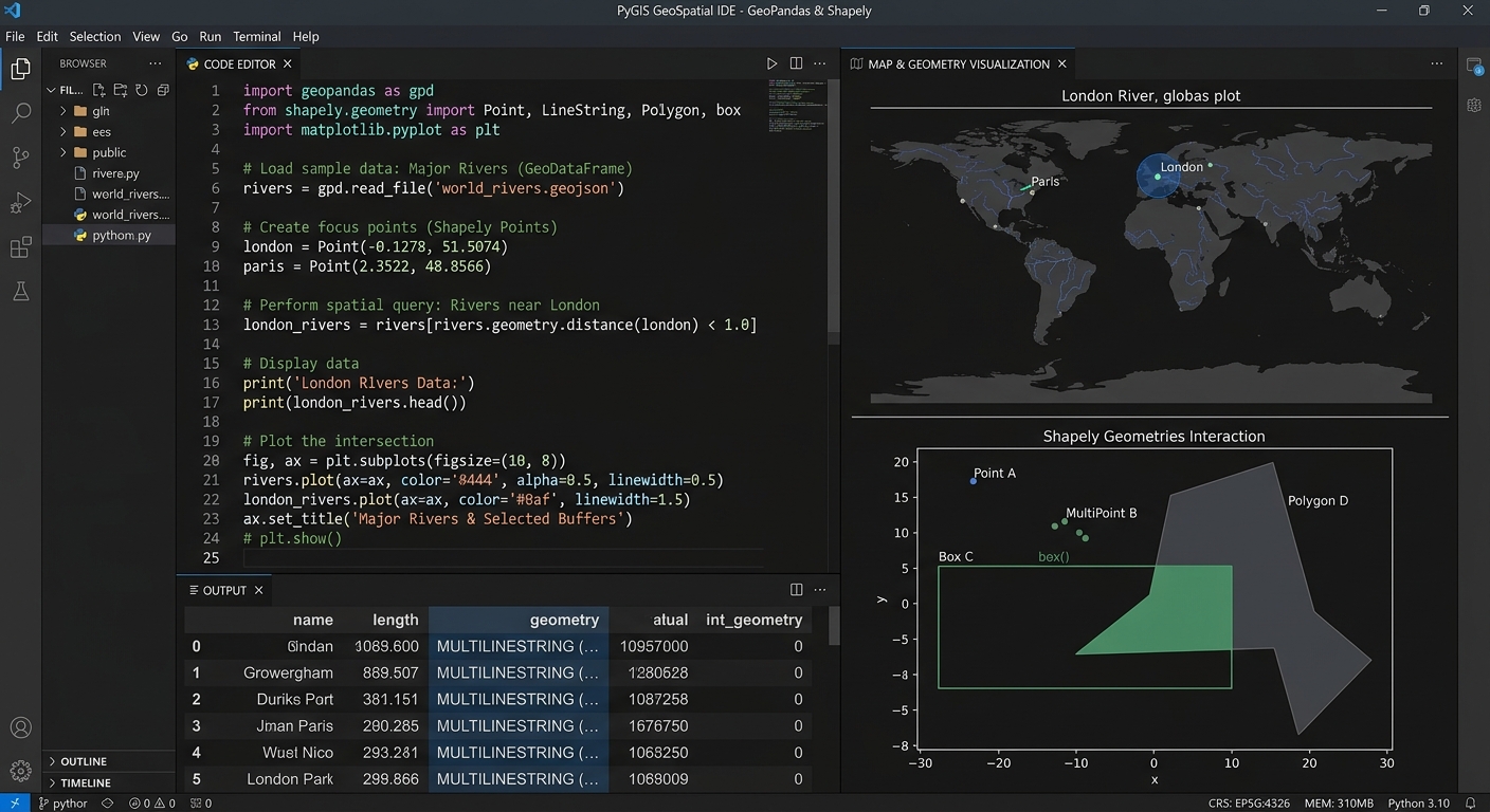
PyGIS Starter Guide: GeoPandas vs. Shapely for Vector Data Analysis

GeoPandas vs Shapely PyGIS

PyGIS Starter Guide: GeoPandas vs. Shapely for Vector Data Analysis   1. Introduction: Why Learn Open-Source Python GIS? Using tools like GeoPandas vs Shapely PyGIS, traditional GIS applications such as QGIS and ArcGIS provide powerful frameworks for mapping, spatial analysis, and data management. However, when you need to repeat an analysis across hundreds of datasets, combine … Read more

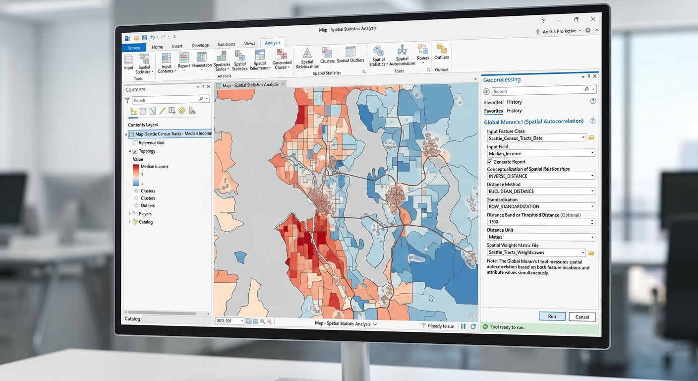
Spatial Autocorrelation (Global Moran’s I) in GIS: Interpretation Guide

Global Morans I Spatial Autocorrelation GIS

Spatial Autocorrelation (Global Moran’s I) in GIS: Interpretation Guide 1. Introduction: Why Does Location Matter? Imagine mapping malaria incidence across several districts. Some districts report high incidence, while others report low incidence. When the high-incidence districts are located near one another, the pattern may indicate spatial clustering. If neighbouring districts have contrasting incidence levels, the … Read more

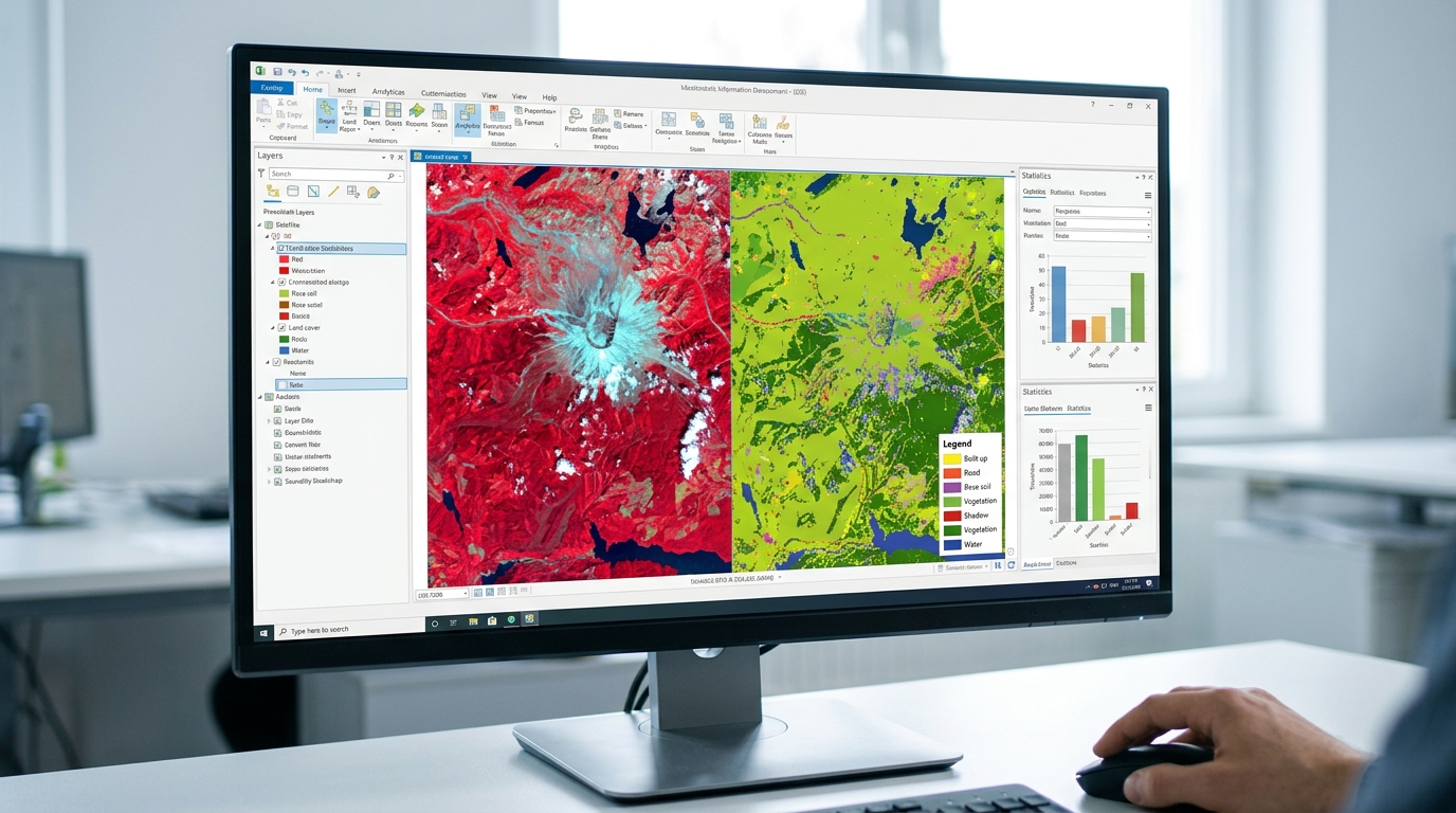
Sentinel-2 vs. Landsat 9 for Vegetation Monitoring: Key Differences & Band Combinations

Sentinel-2 vs Landsat 9 Vegetation Monitoring

Sentinel-2 vs. Landsat 9 for Vegetation Monitoring: Key Differences & Band Combinations   1. Introduction: Why Sentinel-2 and Landsat 9 Matter for Vegetation Monitoring Satellite remote sensing has become an essential tool for monitoring vegetation, mapping land use and land cover (LULC), assessing crop health, and studying forest change. Two of the most widely used … Read more