Moran’s I Spatial Autocorrelation: Beginner GIS Guide

Moran’s I Spatial Autocorrelation: Beginner GIS Guide If you are working with geographic data, simply knowing where high and low values occur is often not enough. You may also need to determine whether those values are clustered, dispersed, or randomly distributed across space. This is where Moran’s I spatial autocorrelation becomes useful. Moran’s I provides … Read more
Migrating from ArcMap to QGIS: A Seamless Transition Guid

Migrating from ArcMap to QGIS: A Seamless Transition Guide Introduction: Why migrate from ArcMap to QGIS? Migrating ArcMap to QGIS is a practical step for GIS professionals, university students, researchers, and organizations that want a modern, sustainable, and cost-effective desktop GIS workflow. ArcMap, part of the legacy ArcGIS Desktop platform, has long been used for … Read more

How to Calculate Spatial Distance Matrices with Python SciPy and Shapely

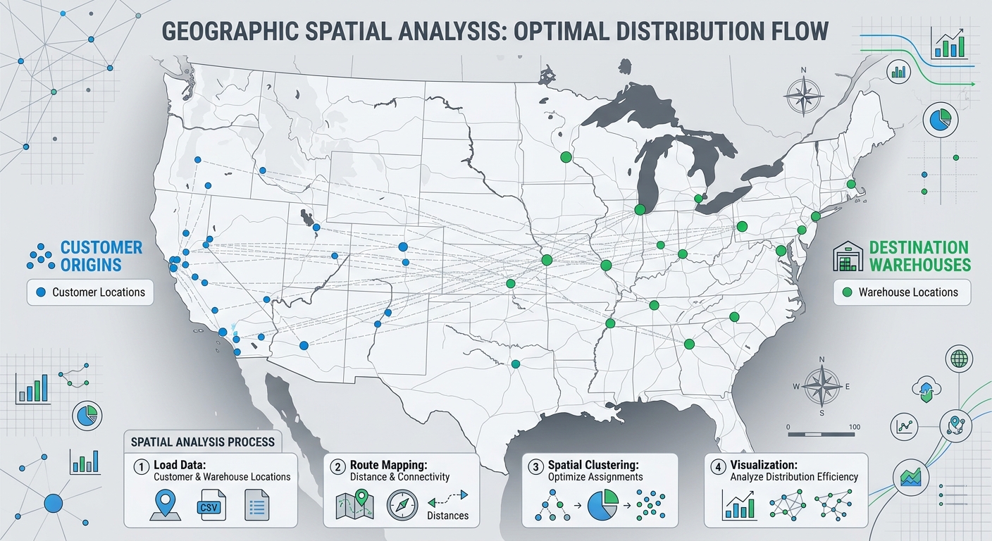
Workflow diagram illustrating how to calculate spatial distance matrices between customer origins and facility destinations using Python SciPy and Shapely.

How to Calculate Spatial Distance Matrices with Python SciPy and Shapely How to Calculate Spatial Distance Matrices with Python SciPy and Shapely is essential for mastering spatial distance calculations in GIS workflows. Whether you are determining which hospital is closest to a patient, matching warehouses to customers, or analyzing the nearest neighboring features, calculating distances between … Read more

How to Write a GIS Methodology Section for Your University Dissertation or Thesis

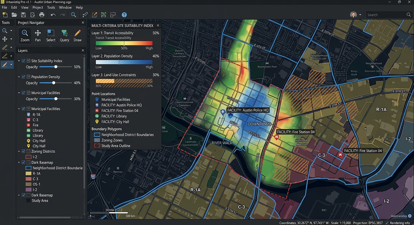
Interface view of a GIS software canvas showing multi-criteria spatial overlay analysis layers.

How to Write a GIS Methodology Section for Your University Dissertation or Thesis Introduction: Why Your GIS Methodology Matters How to Write a GIS Methodology Section for Your University Dissertation or Thesis involves much more than being judged solely by the quality of your maps or the sophistication of your spatial analysis. Examiners also need … Read more

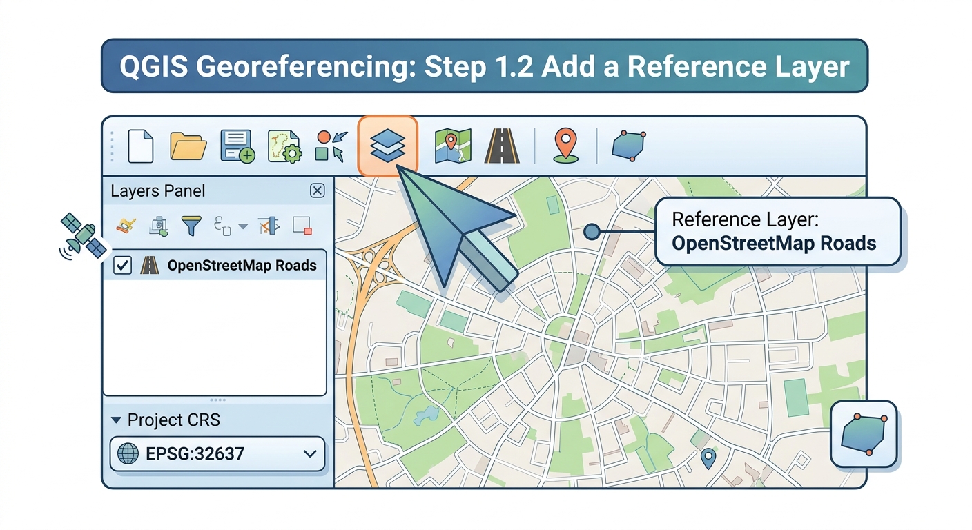
ow to Georeference an Image in QGIS: 7 Easy Steps

How to Georeference an Image in QGIS: A Complete Step-by-Step Workflow Georeferencing assigns real-world geographic coordinates to an image that does not already contain spatial reference information. In this guide, you will learn how to georeference an image in QGIS using a scanned historical map, CAD print, aerial photograph, or other unreferenced raster. The process … Read more