Building High-Performance Web Maps with MapLibre GL JS and Open-Source Vector Tiles

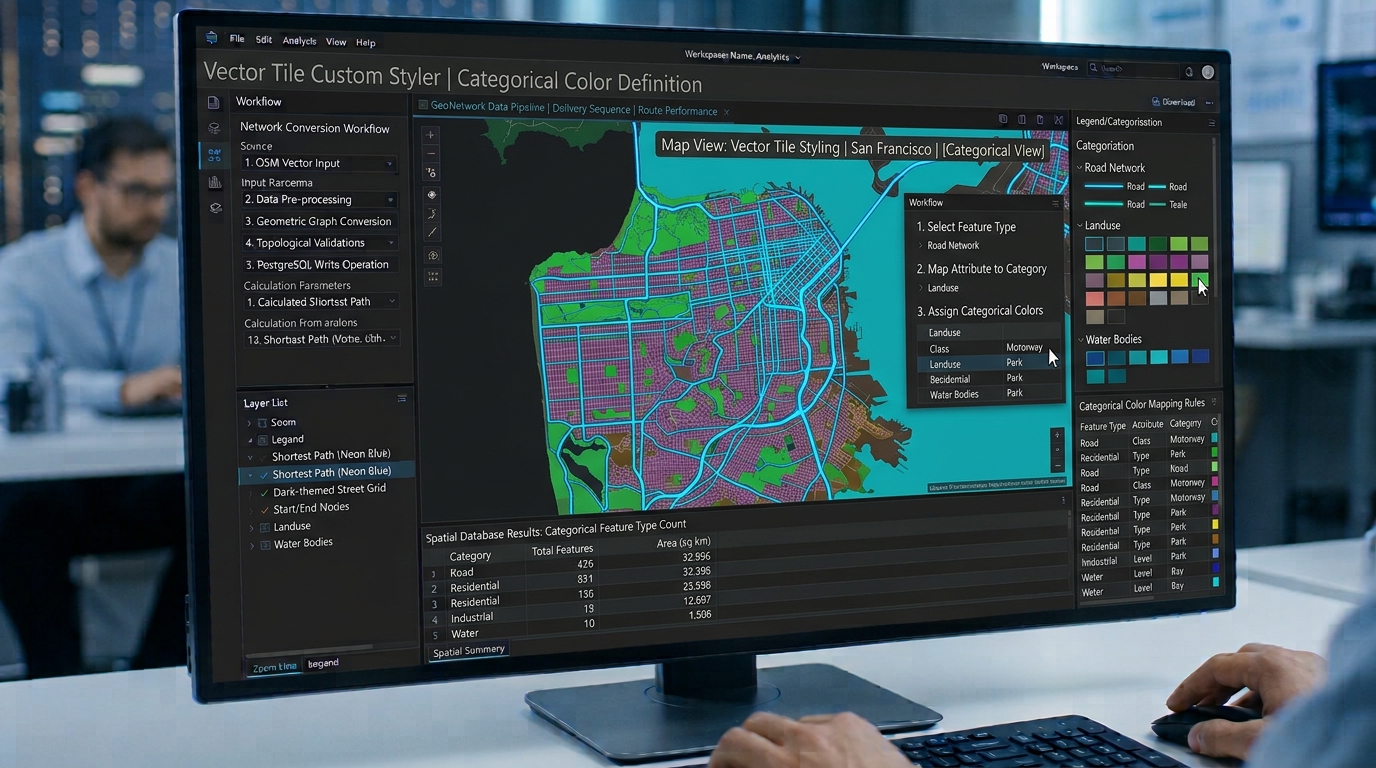
MapLibre GL JS vector tiles custom-styled interactive web map rendering

Building High-Performance Web Maps with MapLibre GL JS and Open-Source Vector Tiles Introduction MapLibre GL JS vector tiles revolutionize modern web mapping by enabling high-performance spatial rendering, smooth client-side styling, and scalable open-source GIS infrastructure without relying on proprietary SDKs. Modern web mapping requires more than displaying geographic data on a page. A production web … Read more
Network Routing Optimization with PostGIS, pgRouting, and OpenStreetMap Data

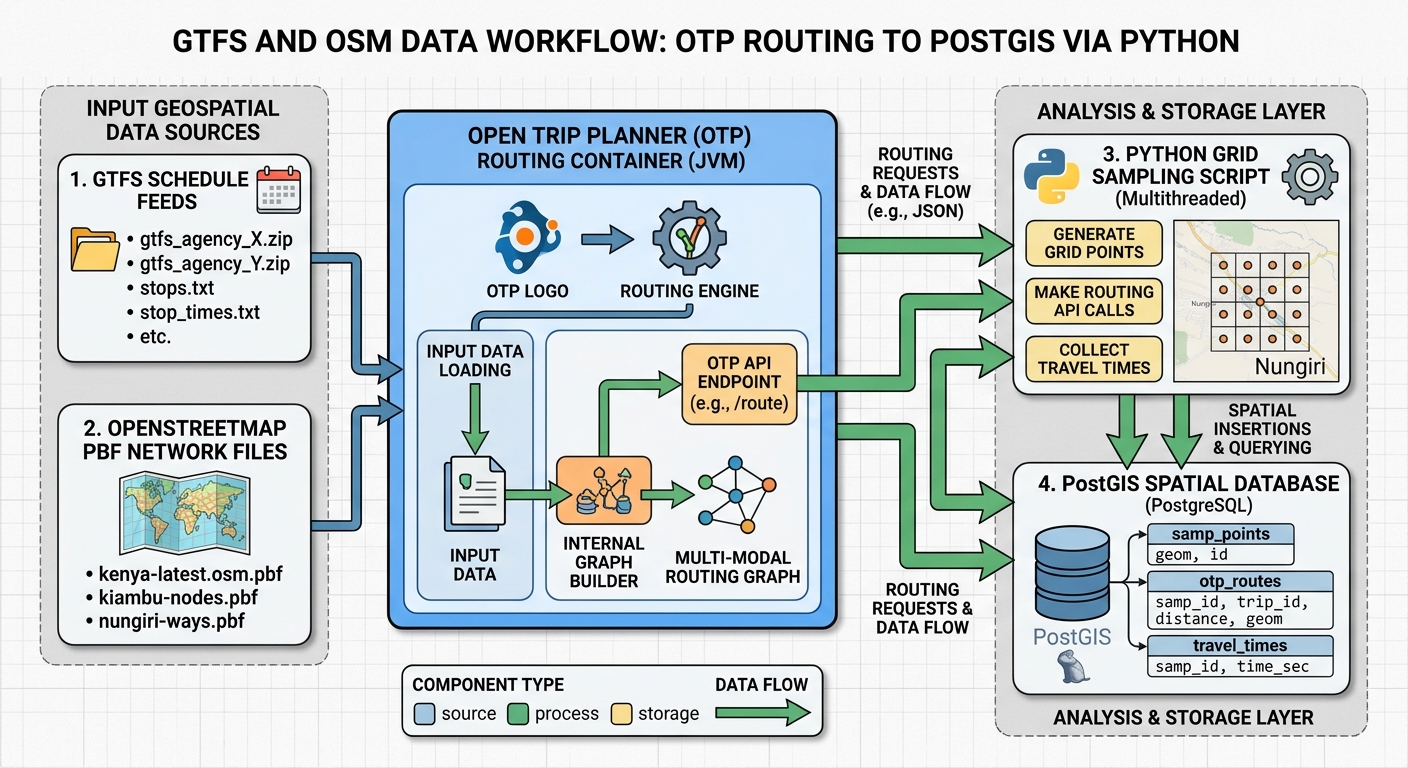
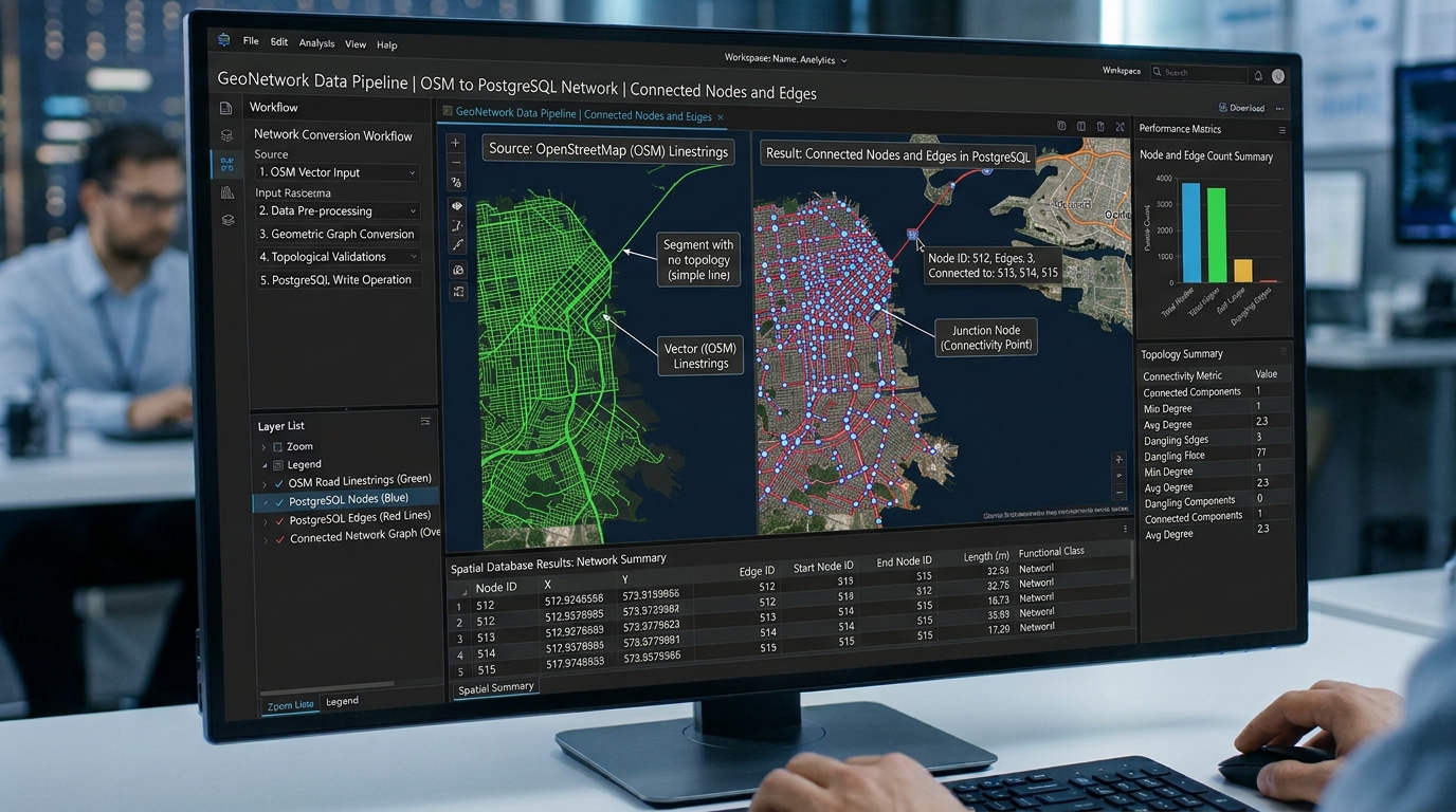
PostGIS pgRouting network routing OpenStreetMap topology cleansing and edge generation

Network Routing Optimization with PostGIS, pgRouting, and OpenStreetMap Data Introduction When configuring PostGIS pgRouting network routing, raw road geometries imported from OpenStreetMap require meticulous attribute engineering to calculate realistic routing costs. In modern geographic information systems (GIS), spatial analytics often extend beyond static map rendering and spatial overlays into dynamic network analysis. Desktop GIS applications … Read more

Super-Resolution Mapping: Enhancing Sentinel-2 Imagery Using Deep Learning

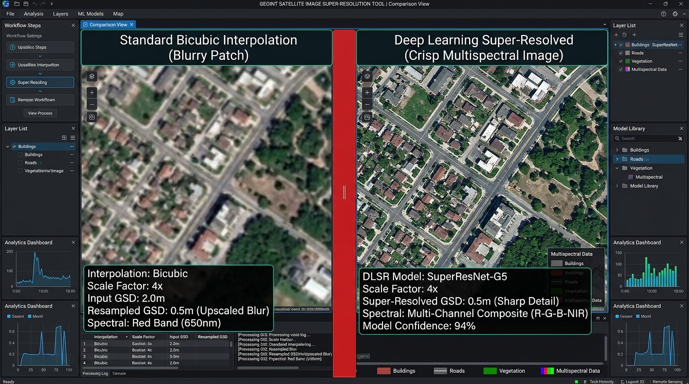
Super-Resolution Sentinel-2 side-by-side comparison of bicubic interpolation versus deep learning upscaling

Super-Resolution Mapping: Enhancing Sentinel-2 Imagery Using Deep Learning Introduction Super-Resolution Sentinel-2 workflows rely on advanced deep learning models. By incorporating batch normalization and skip connections, the network maintains stable gradient flow across deep multispectral feature layers without degrading original radiometric values. Open-source satellite constellations like the European Space Agency’s (ESA) Sentinel-2 mission have transformed Earth … Read more

Fine-Tuning YOLOv8 for Automated Object Detection on High-Resolution Satellite Orthophotos

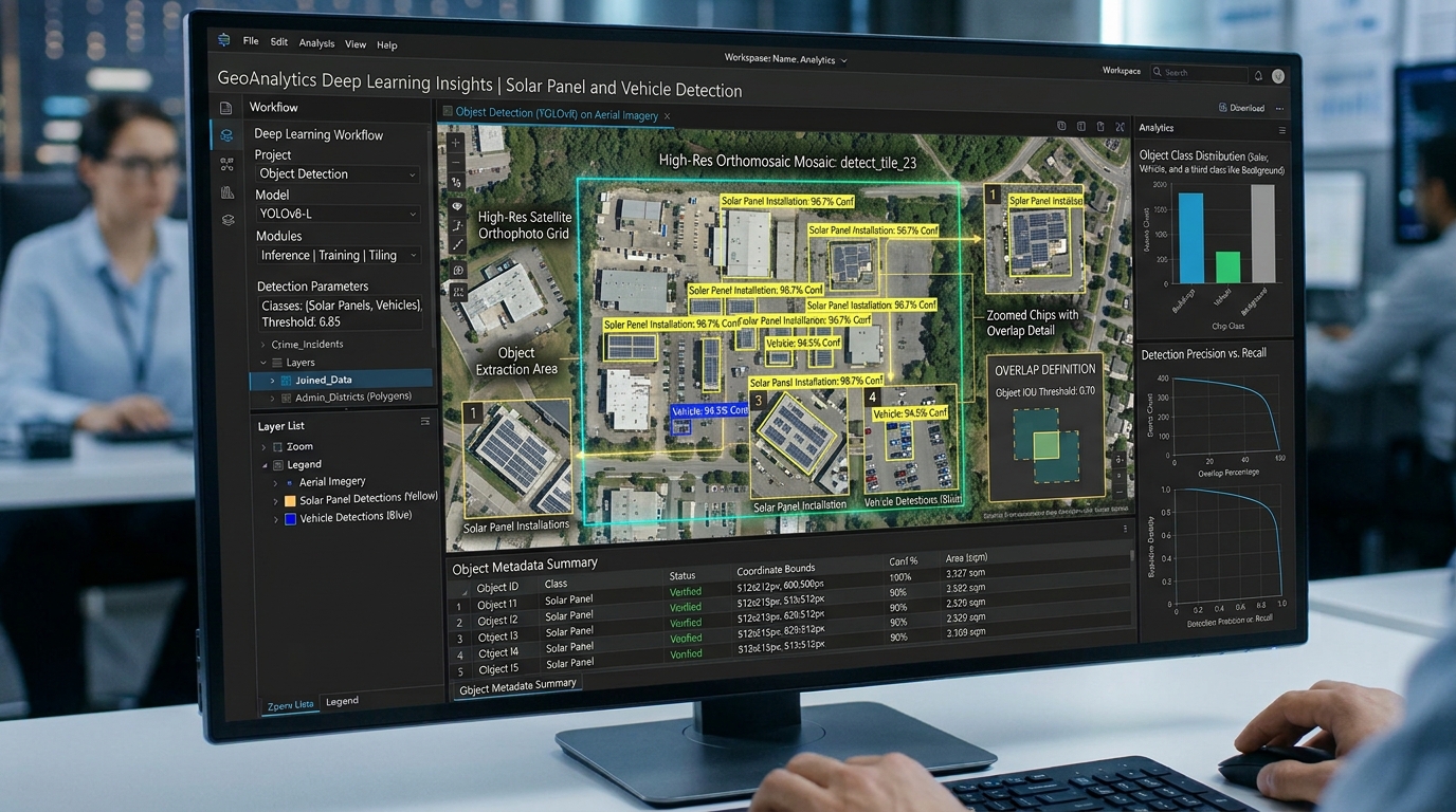
Fine-Tuning YOLOv8 model training and custom object detection output

Fine-Tuning YOLOv8 for Automated Object Detection on High-Resolution Satellite Orthophotos Introduction In the fields of Geographic Information Systems (GIS) and remote sensing, extracting features from high-resolution aerial and satellite imagery has traditionally relied on pixel-based classification, spectral indices (such as NDVI or NDBI), and classic morphological image processing. While these methods are computationally lightweight, they … Read more

Querying GeoParquet Files Directly from Amazon S3 Using DuckDB and Python

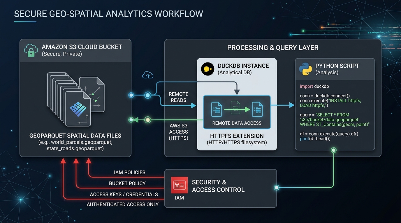
Query GeoParquet DuckDB Amazon S3 Python architecture diagram illustrating serverless cloud-native storage access

Querying GeoParquet Files Directly from Amazon S3 Using DuckDB and Python Introduction: Building a Serverless Spatial Data Lake If you want to efficiently Query GeoParquet DuckDB Amazon S3 Python workflows, cloud-native spatial engineering makes it possible to analyze large vector datasets without traditional database servers. Geospatial data engineering increasingly relies on cloud object storage rather … Read more

Building Web GIS Feature Popups with Chart.js Integration for Dynamic Attribute Visualization

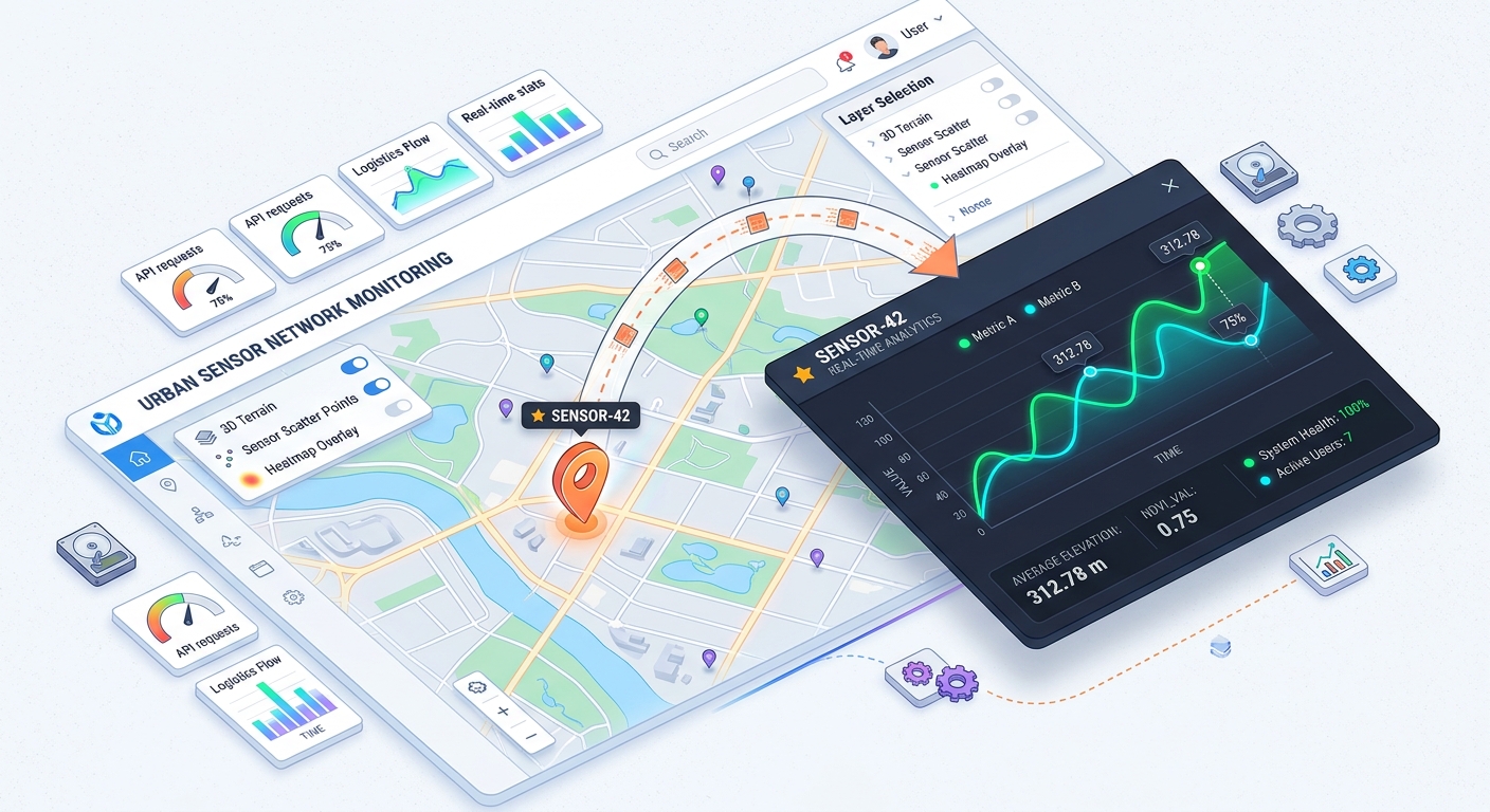
web GIS feature popup architecture and chart integration

Building Web GIS Feature Popups with Chart.js Integration for Dynamic Attribute Visualization Welcome to the world of interactive web mapping! If you have ever built a web map, you know how useful traditional feature popups are for displaying static attributes like text or numbers when a user clicks on a map marker. But what if … Read more

Optimizing Enterprise Web Maps with Cloud-Optimized GeoTIFF (COG) Architecture

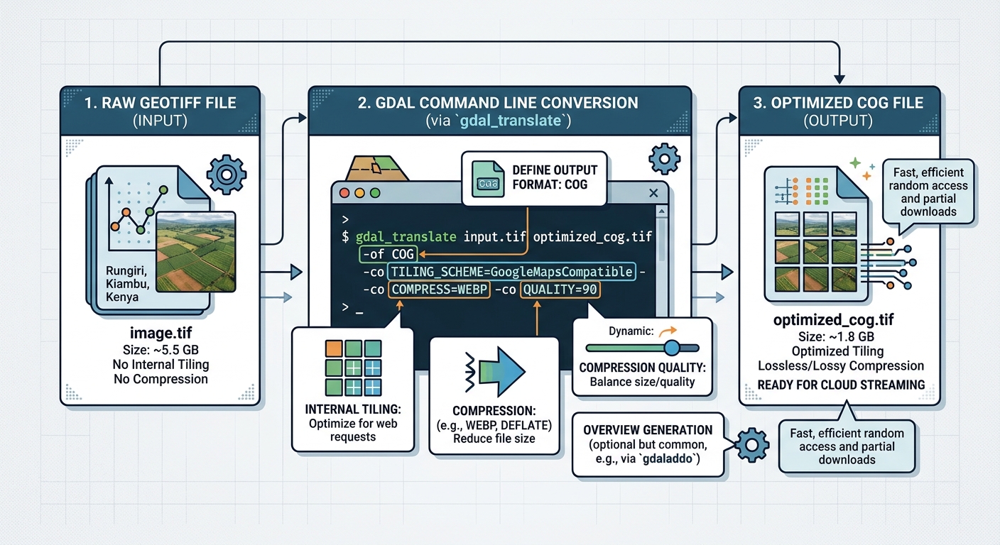
Cloud-Optimized GeoTIFF web map architecture

Optimizing Enterprise Web Maps with Cloud-Optimized GeoTIFF (COG) Architecture Introduction: Rethinking Raster Delivery for Enterprise Web GIS Adopting Cloud-Optimized GeoTIFF web map architecture transforms how enterprise mapping systems handle large raster datasets, shifting from traditional server-side tile rendering to direct cloud object storage delivery. Enterprise web mapping systems frequently depend on large raster datasets, including … Read more

Integrating Deck.gl Spatial Layers into Next.js Server-Side Rendered Applications

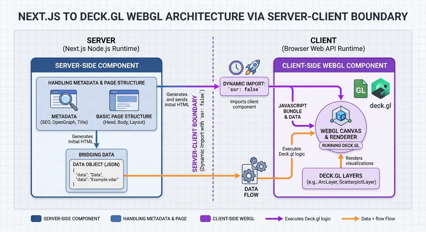
deck.gl Next.js SSR dynamic import architectural boundary

Integrating Deck.gl Spatial Layers into Next.js Server-Side Rendered Applications Introduction Implementing deck.gl Next.js spatial layers enables developers to render millions of data points and complex movement flows with GPU acceleration inside modern server-side rendered applications. Modern web GIS applications increasingly need to visualize datasets containing millions of points, complex movement trajectories, and aggregated spatial patterns. … Read more

Automating Drought Monitoring with NDVI, NDWI, and NDDI Time Series in GEE

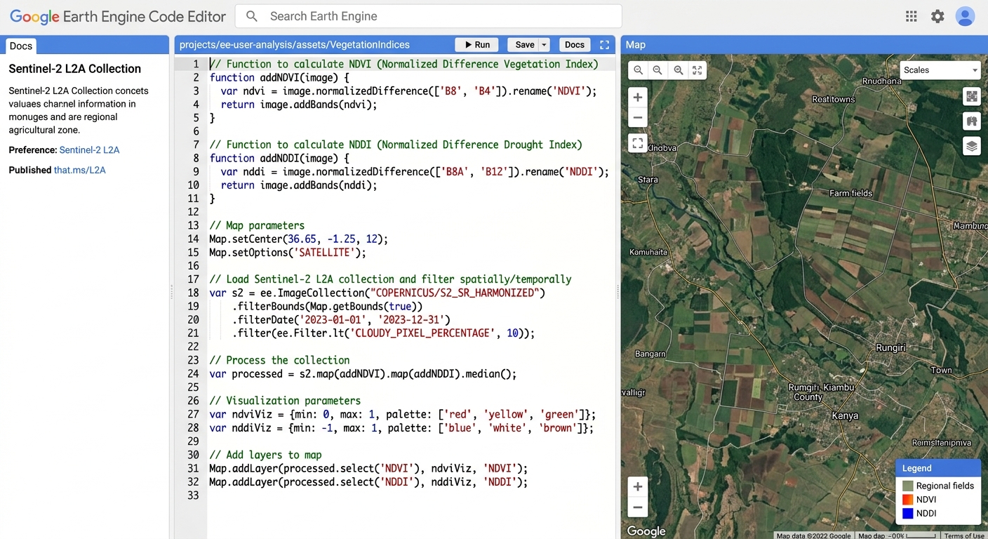
Google Earth Engine code editor drought monitoring script

Automating Drought Monitoring with NDVI, NDWI, and NDDI Time Series in GEE Introduction Agricultural drought can develop gradually as rainfall decreases, soil moisture declines, and vegetation becomes stressed. Identifying these changes early helps environmental scientists, agricultural planners, and water-resource managers evaluate potential impacts across large regions. Satellite remote sensing provides a repeatable way to monitor … Read more