Geocoding Addresses in GIS: 5 Easy Steps to Map Excel Data
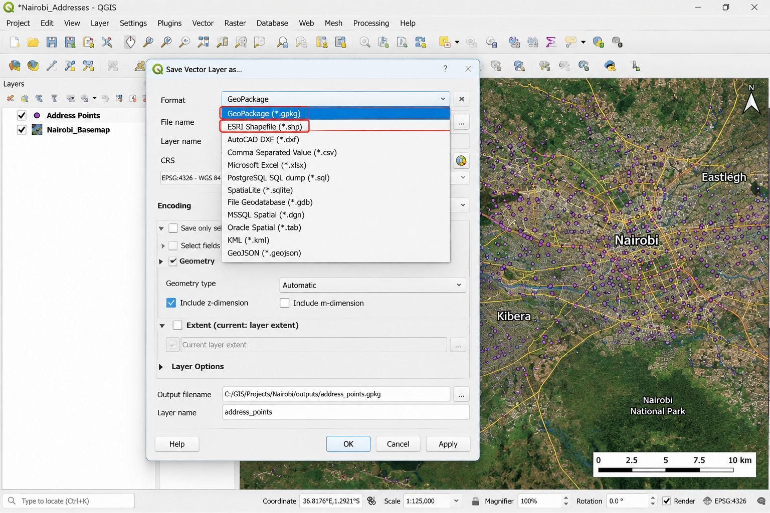
Geocoding Addresses in GIS: 5 Easy Steps to Map Excel Data Introduction Geocoding addresses in GIS is the process of converting descriptive location information—such as a street address, place name, or postal address—into geographic coordinates that GIS software can display as points on a map. This becomes especially useful when your lecturer gives you an … Read more