Multi-Temporal Remote Sensing Change Detection Using Google Earth Engine and Random Forest Classifiers
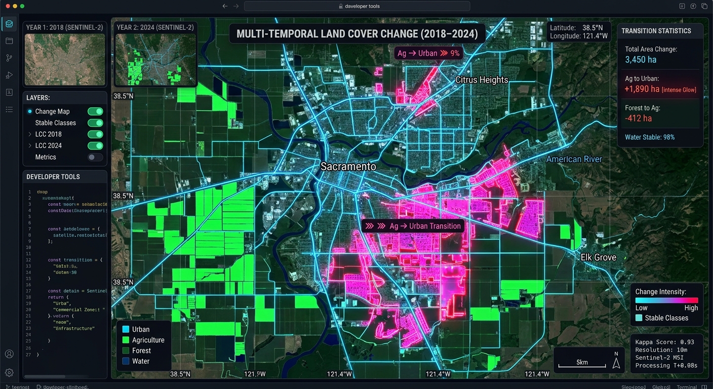
Multi-Temporal Remote Sensing Change Detection Using Google Earth Engine and Random Forest Classifiers

Multi-Temporal Remote Sensing Change Detection Using Google Earth Engine and Random Forest Classifiers Monitoring landscape transformations over decadal timescales requires moving beyond simple spectral indices. Traditional bi-temporal approaches—such as manual image differencing or post-classification comparison using heuristic thresholds—frequently fall short when applied to complex, multi-year land-use and land-cover (LULC) change detection. Factors like inter-annual phenological … Read more
Spatial Index Tuning and Database Partitioning Strategies for Billion-Row PostGIS Tables

Spatial Index Tuning and Database Partitioning Strategies for Billion-Row PostGIS Tables Introduction: Scaling PostGIS Beyond a Single Large Table Effective management of enterprise geospatial workflows requires comprehensive PostGIS Table Partitioning Spatial Index Tuning to maintain high query performance. Enterprise geospatial systems increasingly process billions of GPS observations, satellite-derived features, road-network segments, environmental measurements, and administrative … Read more

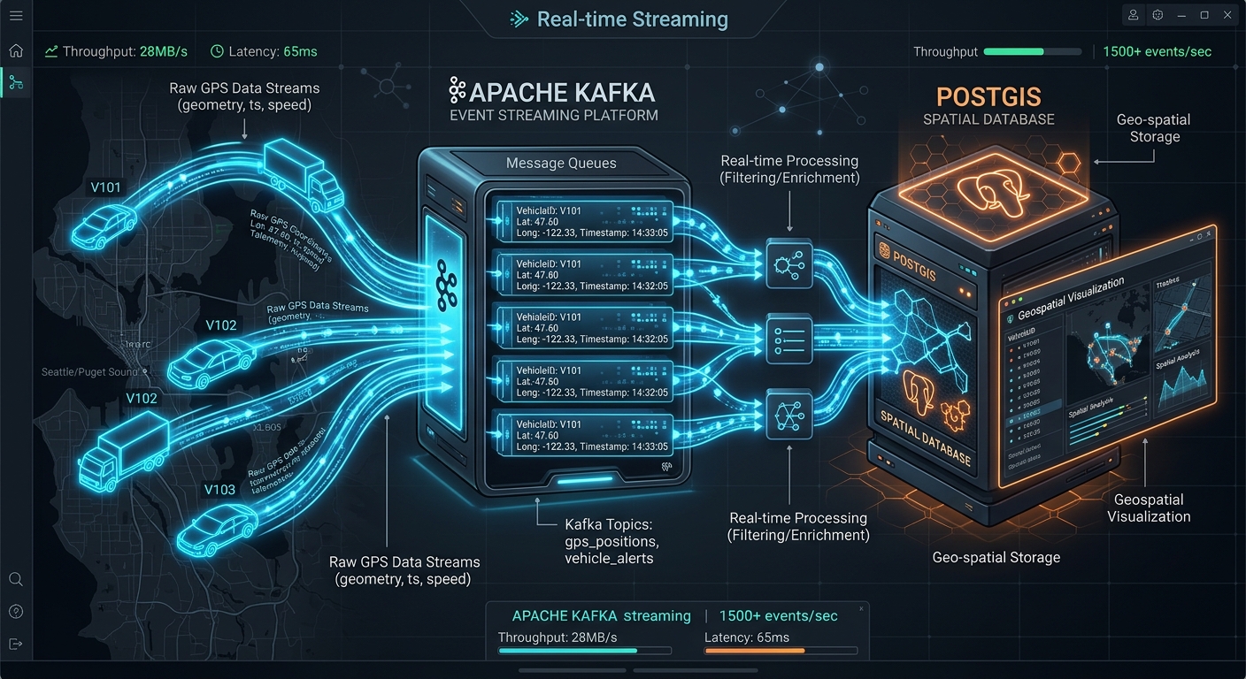
Managing Spatio-Temporal Data Streams with Apache Kafka and PostGIS

Managing Spatio-Temporal Data Streams Apache Kafka PostGIS

Managing Spatio-Temporal Data Streams with Apache Kafka and PostGIS Introduction: Managing Spatio-Temporal Data Streams Apache Kafka PostGIS When implementing **Managing Spatio-Temporal Data Streams Apache Kafka PostGIS** pipelines, high-velocity, continuous telemetry streams present unique architectural challenges. High-velocity, continuous telemetry streams—such as connected vehicle location tracking, dynamic fleet management, mobile delivery platforms, and smart-city IoT sensor grids—present … Read more

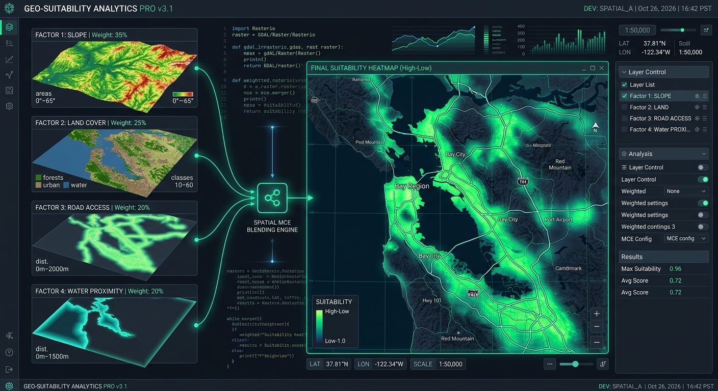
Spatial Multi-Criteria Decision Analysis (MCDA) in Python: Automating Weighted Linear Combinations

Spatial MCDA Python Weighted Linear Combinations

Spatial Multi-Criteria Decision Analysis (MCDA) in Python: Automating Weighted Linear Combinations Introduction “When applying Spatial MCDA Python Weighted Linear Combinations workflows, geospatial analysts often need to automate multi-factor suitability evaluations efficiently. Selecting the best locations for solar farms, hospitals, conservation areas, or infrastructure projects often requires evaluating multiple geographic factors simultaneously. A site may have … Read more

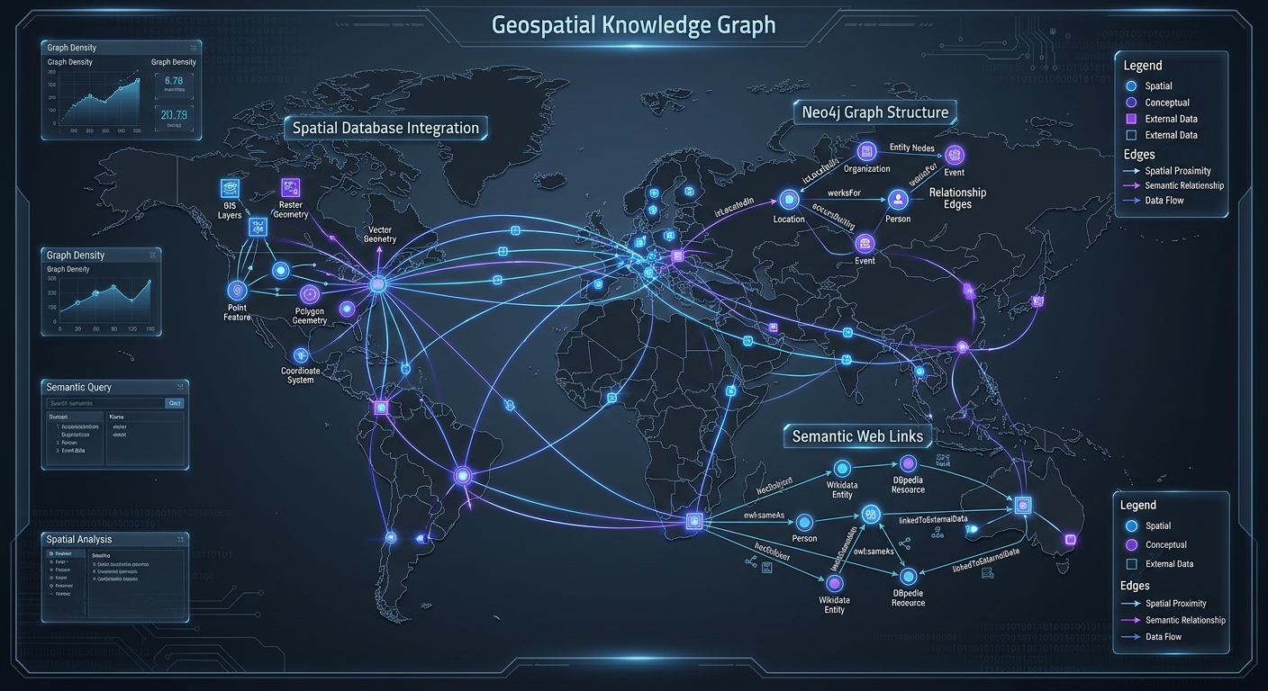
Geospatial Knowledge Graphs: Querying Connected Spatial Entities with Neo4j and SPARQL

Geospatial Knowledge Graphs Neo4j SPARQL

Geospatial Knowledge Graphs: Querying Connected Spatial Entities with Neo4j and SPARQL 1. Introduction: Why Geospatial Data Needs Graph-Based Modeling To build Geospatial Knowledge Graphs Neo4j SPARQL architectures effectively, traditional geographic information systems (GIS) rely heavily on relational databases. Traditional geographic information systems (GIS) rely heavily on relational databases, where spatial features are stored as records … Read more

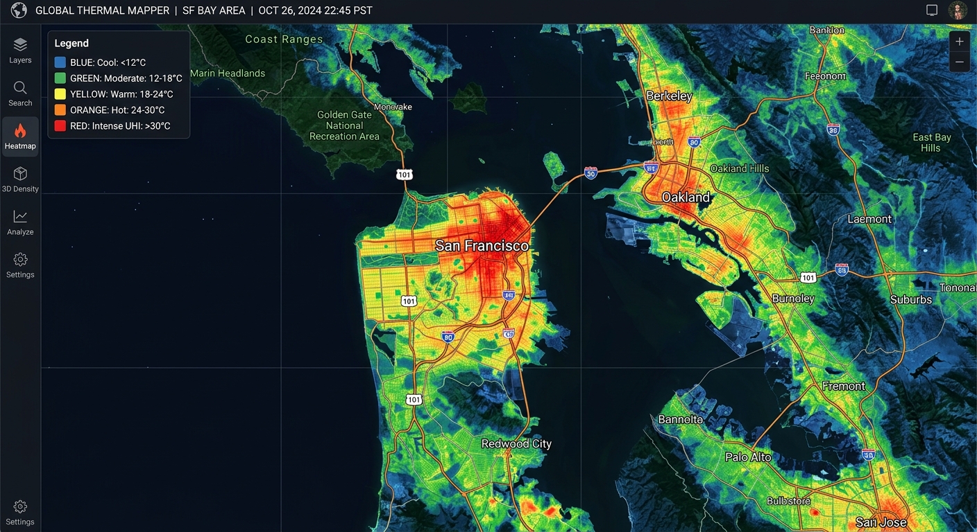
Urban Heat Island Mapping: Calculating Land Surface Temperature (LST) from Landsat TIR Bands

Urban Heat Island Mapping Landsat LST Tutorial

Urban Heat Island Mapping: Calculating Land Surface Temperature (LST) from Landsat TIR Bands 1. Introduction: Mapping Urban Heat Islands with Landsat This Urban Heat Island Mapping Landsat LST Tutorial explores how built-up areas exhibit higher temperatures than their surrounding rural or less-developed environments. Urban Heat Islands (UHIs) occur when built-up areas exhibit higher temperatures than … Read more

Web-Based Vector Editing with Mapbox GL Draw

Web-Based Vector Editing with Mapbox GL Draw 1. Introduction When building **Web Based Vector Editing Mapbox GL Draw** workflows, traditional desktop GIS software often creates friction for web users. Traditional vector digitizing workflows rely heavily on desktop GIS software such as QGIS and ArcGIS. These tools remain valuable for advanced editing and quality assurance, but … Read more

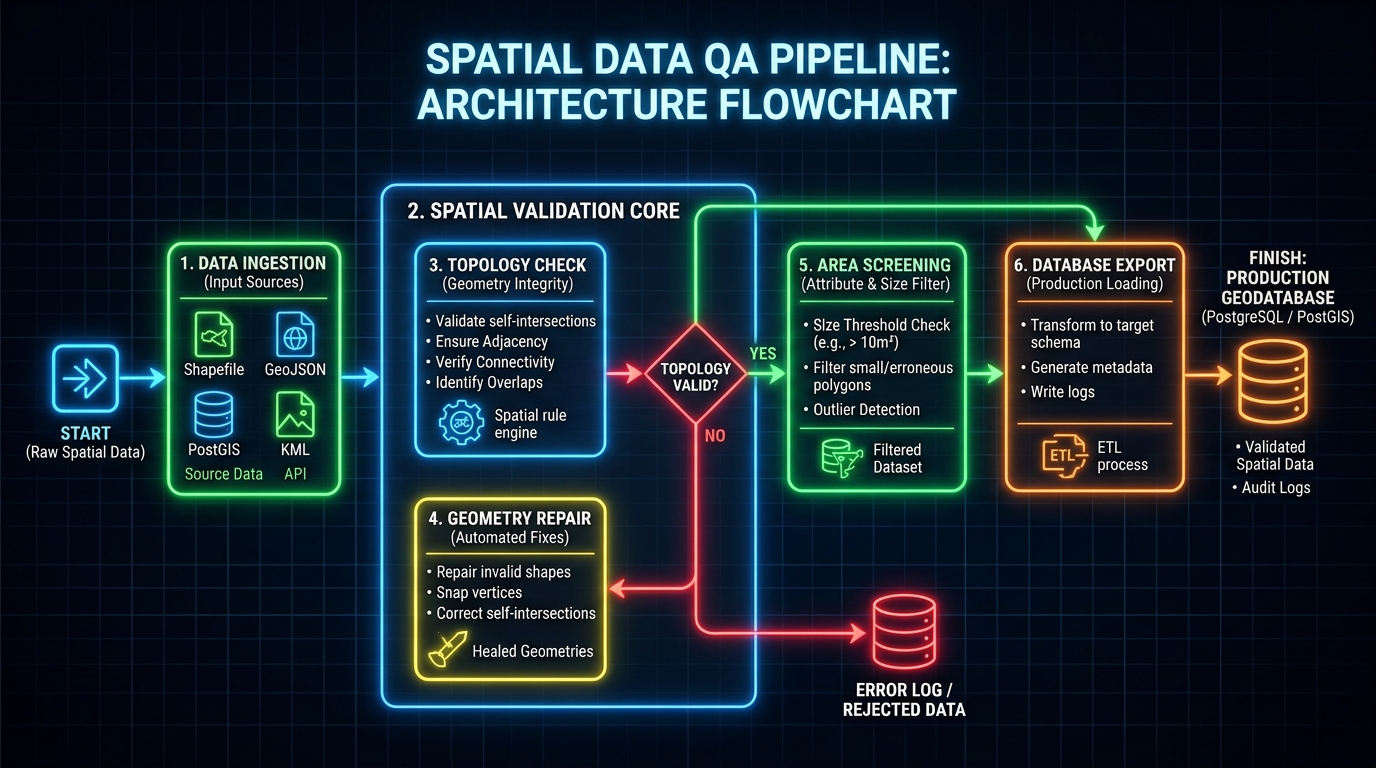
Automated Spatial QA/QC Pipelines: Detecting and Repairing Invalid Geometries with Python

Automated Spatial QA/QC Pipelines Python

Automated Spatial QA/QC Pipelines: Detecting and Repairing Invalid Geometries with Python 1. Introduction When building Automated Spatial QA/QC Pipelines Python workflows, spatial datasets often look correct on a map while containing geometric defects. Spatial datasets often look correct on a map while containing geometric defects that compromise spatial analysis, database imports, and automated GIS workflows. … Read more

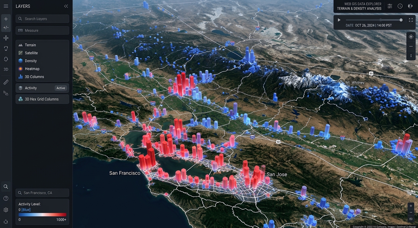
Creating 3D Web Scenes with Deck.gl and Mapbox GL JS

Create 3D Web Scenes Deck.gl Mapbox GL JS

Creating 3D Web Scenes with Deck.gl and Mapbox GL JS Introduction When you create 3D web scenes Deck.gl Mapbox GL JS, traditional two-dimensional maps often fall short when displaying massive spatial observations. Traditional web maps work well when displaying points, lines, and polygons in two dimensions. However, when a dataset contains hundreds of thousands of … Read more

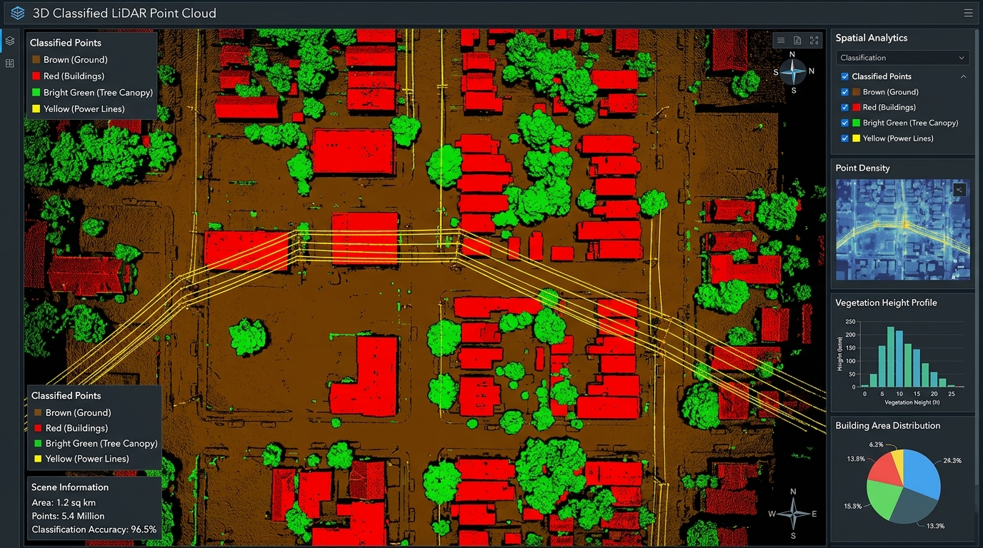
Programmatic LiDAR Point Cloud Classification in Python Using laspy and Scikit-Learn

Automated Metadata Generation Python ISO Standards

Programmatic LiDAR Point Cloud Classification in Python Using laspy and Scikit-Learn Introduction: sing Automated Metadata Generation Python ISO Standards in Practice When implementing  Automated Metadata Generation Python ISO Standards pipelines, geospatial professionals often struggle with manual XML template formatting. Light Detection and Ranging (LiDAR) technology captures detailed three-dimensional representations of the Earth’s surface by recording … Read more