
GIS in Flood Modeling: 7 Essential Steps for Environmental Risk Assessment
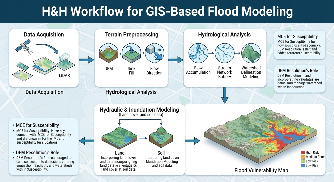
How GIS is Used in Environmental Risk & Flood Modeling: A Student Guide Introduction Flooding is one of the most significant natural hazards affecting communities, infrastructure, agriculture, and ecosystems. Changes in precipitation patterns, rapid urbanization, vegetation loss, and development in flood-prone areas can increase the consequences of extreme rainfall events. GIS in Flood Modeling provides … Read more