Analyzing Spatial Networks in Python with OSMnx and NetworkX
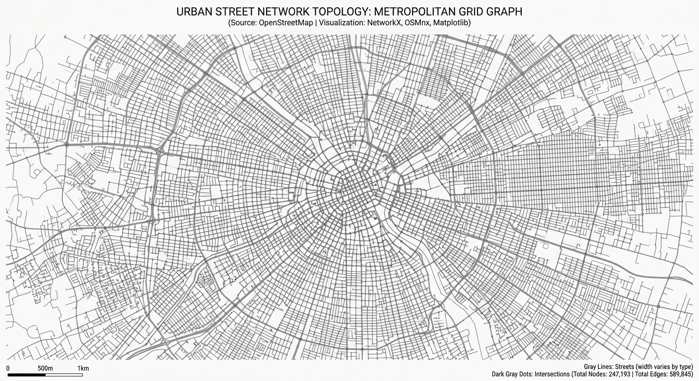
Analyzing Spatial Networks in Python with OSMnx and NetworkX Introduction Urban street networks shape how people move through cities and access essential services. The arrangement of intersections, road segments, and pedestrian pathways influences travel distance, route choice, and accessibility to schools, hospitals, public transport, and employment. For urban planners and geospatial analysts, understanding these relationships … Read more