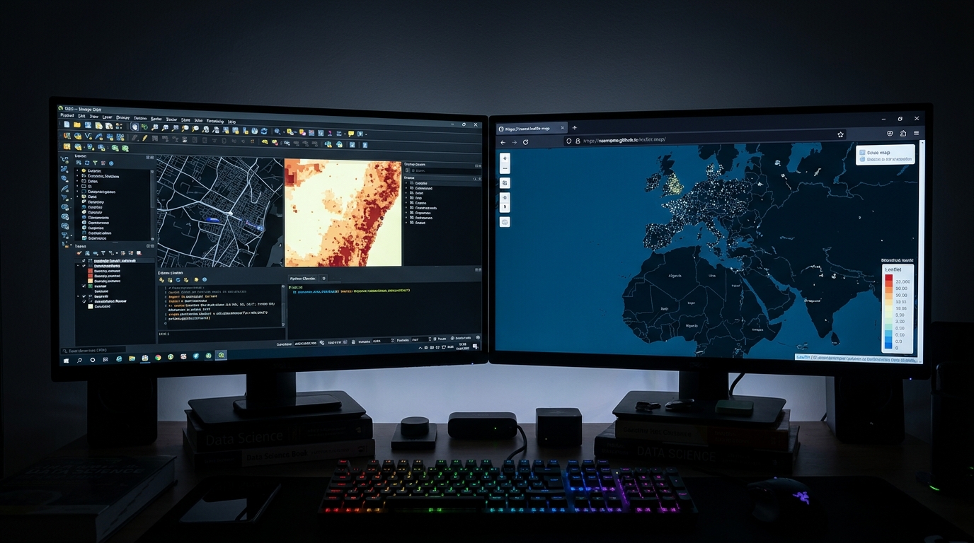
Building Real-Time Spatial Dashboards in QGIS with GeoNode and PostGIS

Building Real-Time Spatial Dashboards in QGIS with GeoNode and PostGIS Introduction: Why Static Maps Fall Short for Time-Sensitive Decisions A static map captures the state of a geographic area at a particular moment. That works well for printed reports, planning documents, and historical analysis, but it becomes less useful when the underlying situation changes every … Read more
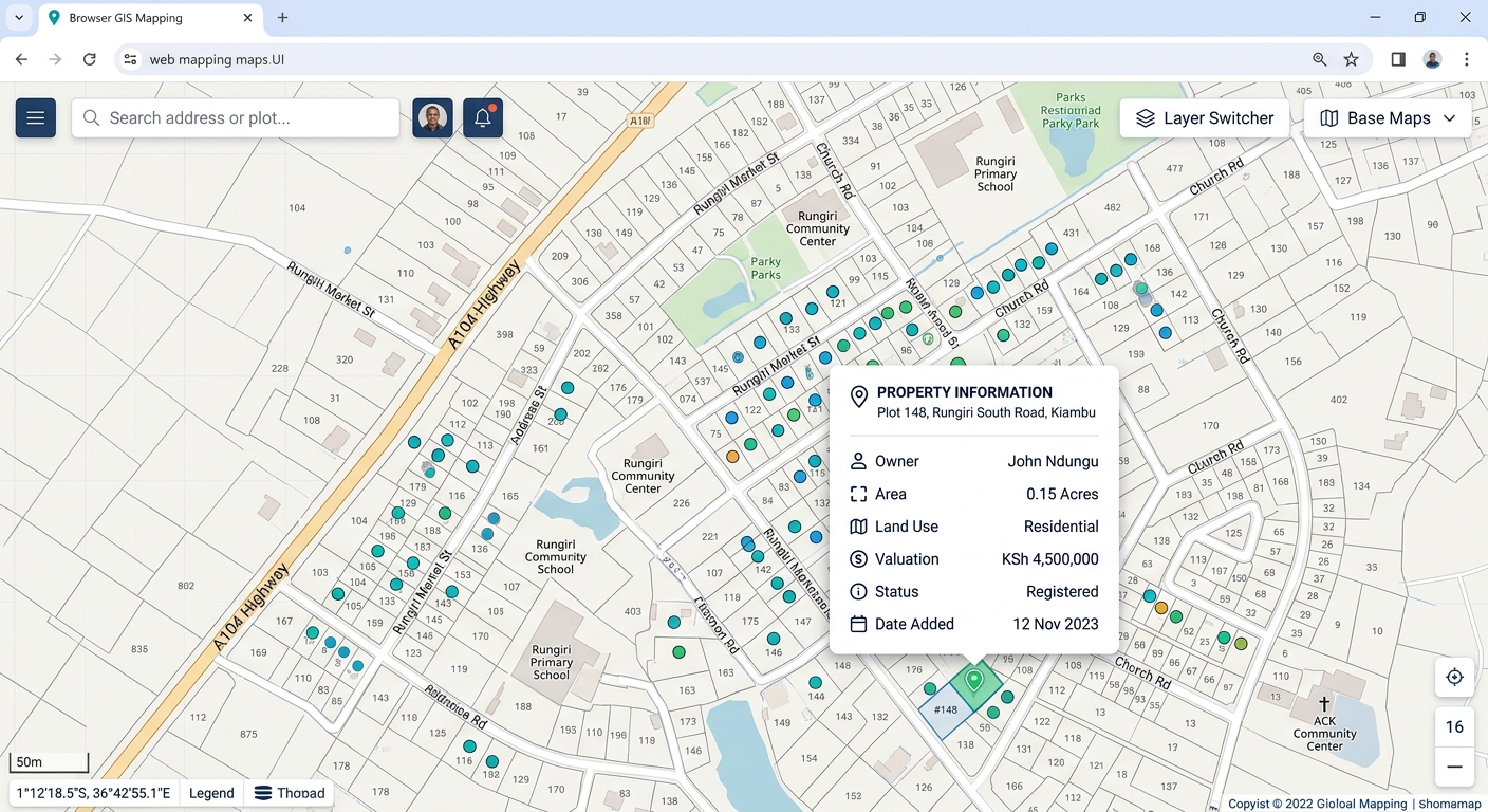
Cross-Validation in Spatial Interpolation: How to Test Accuracy (IDW vs Kriging)

Cross-Validation in Spatial Interpolation: How to Test Accuracy (IDW vs Kriging) 1. Introduction: Why Spatial Interpolation Needs Validation Spatial interpolation transforms discrete sample measurements into continuous geographic surfaces. Environmental scientists use it to estimate groundwater levels, GIS analysts map air pollution, and agricultural researchers predict soil properties between sampling locations. However, a visually smooth raster … Read more

Fuzzy Logic in GIS Site Suitability: Moving Beyond Binary Constraints

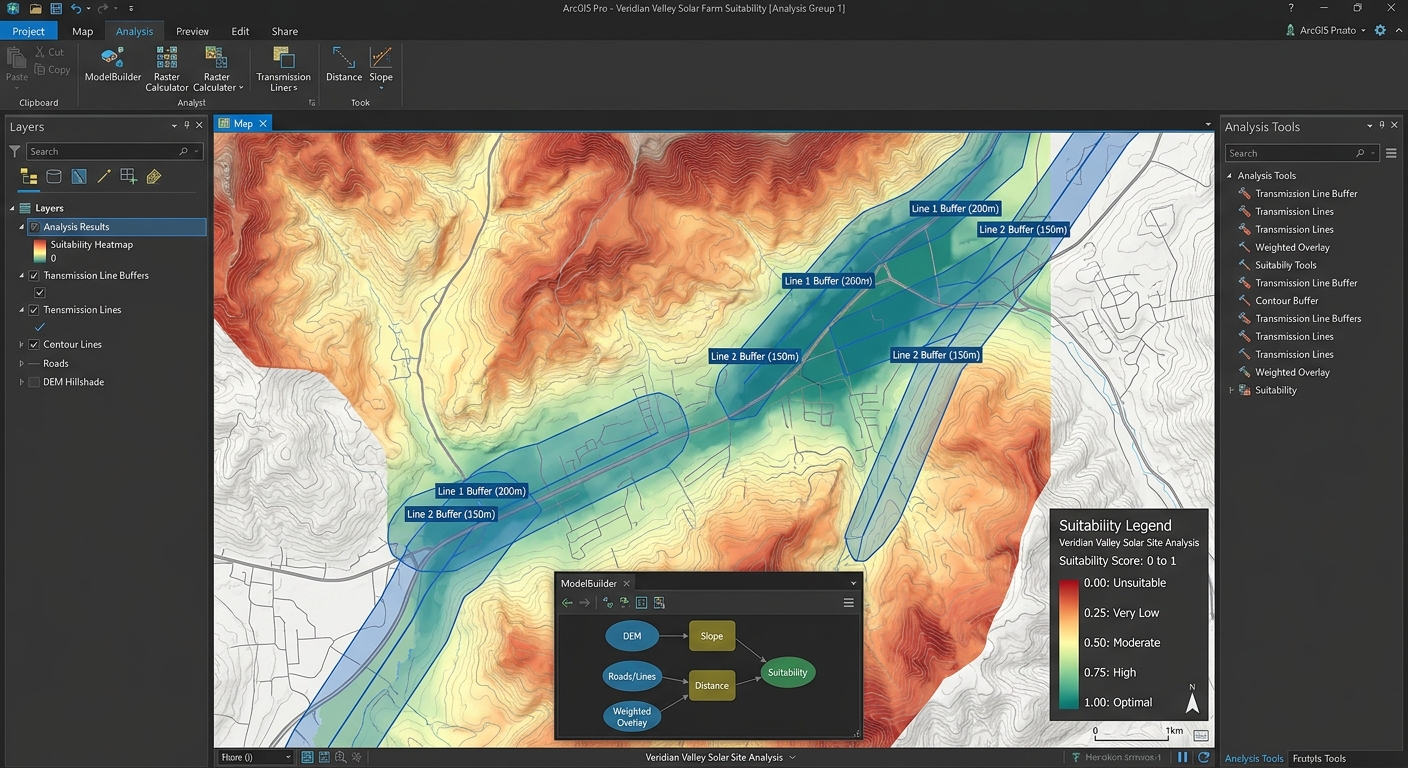
Continuous Suitability Surface Map for Solar Farm Site Selection

Fuzzy Logic in GIS Site Suitability: Moving Beyond Binary Constraints Introduction Traditional GIS site suitability analysis often relies on Boolean logic, where every location is classified as either suitable (1) or unsuitable (0). This approach is straightforward and easy to implement, but it can oversimplify geographic reality. Consider a hospital site-selection rule requiring a location … Read more

Automating Map Export Loops with ArcPy and PyQGIS

Automating Map Export Loops with ArcPy and PyQGIS

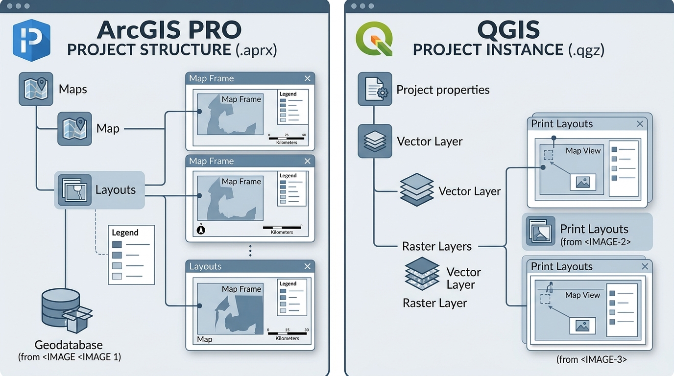
Automating Map Export Loops with ArcPy and PyQGIS GIS Coding Tutorial · Python Automation · ArcGIS Pro · QGIS Introduction Imagine you have 50 administrative districts, and each district requires its own map showing boundaries, roads, settlements, a north arrow, a scale bar, a legend, and a descriptive title. When dealing with dozens of administrative … Read more

How to Publish Free Interactive Maps with qgis2web and GitHub Pages

How to Publish Free Interactive Maps with qgis2web and GitHub Pages

How to Publish Free Interactive Maps with qgis2web and GitHub Pages How to Publish Free Interactive Maps with qgis2web and GitHub Pages makes turning a static geographic information system (GIS) project into a live, shareable web application effortless without writing custom JavaScript from scratch. Today, GIS professionals, urban planners, and students can bridge desktop GIS and … Read more

Building Custom QGIS Plugins with Python: A Beginner’s Guide

Building Custom QGIS Plugins with Python: A Beginner’s Guide PyQGIS Development Tutorial · QGIS Desktop · Python · Qt Designer Introduction Building a custom QGIS plugin with Python and PyQGIS allows GIS professionals to transform repetitive geospatial workflows into reusable tools. Instead of manually repeating the same sequence of geoprocessing operations, a team can develop … Read more

Drone Photogrammetry Workflow: Processing UAV Imagery into Orthomosaics and Point Clouds

Drone Photogrammetry Workflow: Processing UAV Imagery into Orthomosaics and Point Clouds Practical UAV Mapping Tutorial · Photogrammetry · WebODM · Pix4D · QGIS · ArcGIS Pro Introduction A drone photogrammetry workflow transforms overlapping aerial photographs into accurate, georeferenced mapping products, including orthomosaics, point clouds, digital surface models (DSMs), and 3D mesh models. Unmanned aerial vehicles … Read more

Introduction to Cloud-Native Geospatial Formats: COGs & GeoParquet

Introduction to Cloud-Native Geospatial Formats: COGs & GeoParquet 1. Introduction: Why cloud-native geospatial formats matter Traditional GIS workflows were designed around files stored on local disks, but cloud-native geospatial formats address these bottlenecks. Formats such as standard GeoTIFF and ESRI Shapefile remain useful, but their conventional storage and access patterns can become bottlenecks when applications … Read more