Building Custom QGIS Plugins with Python: A Beginner’s Guide

Building Custom QGIS Plugins with Python: A Beginner’s Guide PyQGIS Development Tutorial · QGIS Desktop · Python · Qt Designer Introduction Building a custom QGIS plugin with Python and PyQGIS allows GIS professionals to transform repetitive geospatial workflows into reusable tools. Instead of manually repeating the same sequence of geoprocessing operations, a team can develop … Read more
Drone Photogrammetry Workflow: Processing UAV Imagery into Orthomosaics and Point Clouds

Drone Photogrammetry Workflow: Processing UAV Imagery into Orthomosaics and Point Clouds Practical UAV Mapping Tutorial · Photogrammetry · WebODM · Pix4D · QGIS · ArcGIS Pro Introduction A drone photogrammetry workflow transforms overlapping aerial photographs into accurate, georeferenced mapping products, including orthomosaics, point clouds, digital surface models (DSMs), and 3D mesh models. Unmanned aerial vehicles … Read more

Introduction to Cloud-Native Geospatial Formats: COGs & GeoParquet

Introduction to Cloud-Native Geospatial Formats: COGs & GeoParquet 1. Introduction: Why cloud-native geospatial formats matter Traditional GIS workflows were designed around files stored on local disks, but cloud-native geospatial formats address these bottlenecks. Formats such as standard GeoTIFF and ESRI Shapefile remain useful, but their conventional storage and access patterns can become bottlenecks when applications … Read more

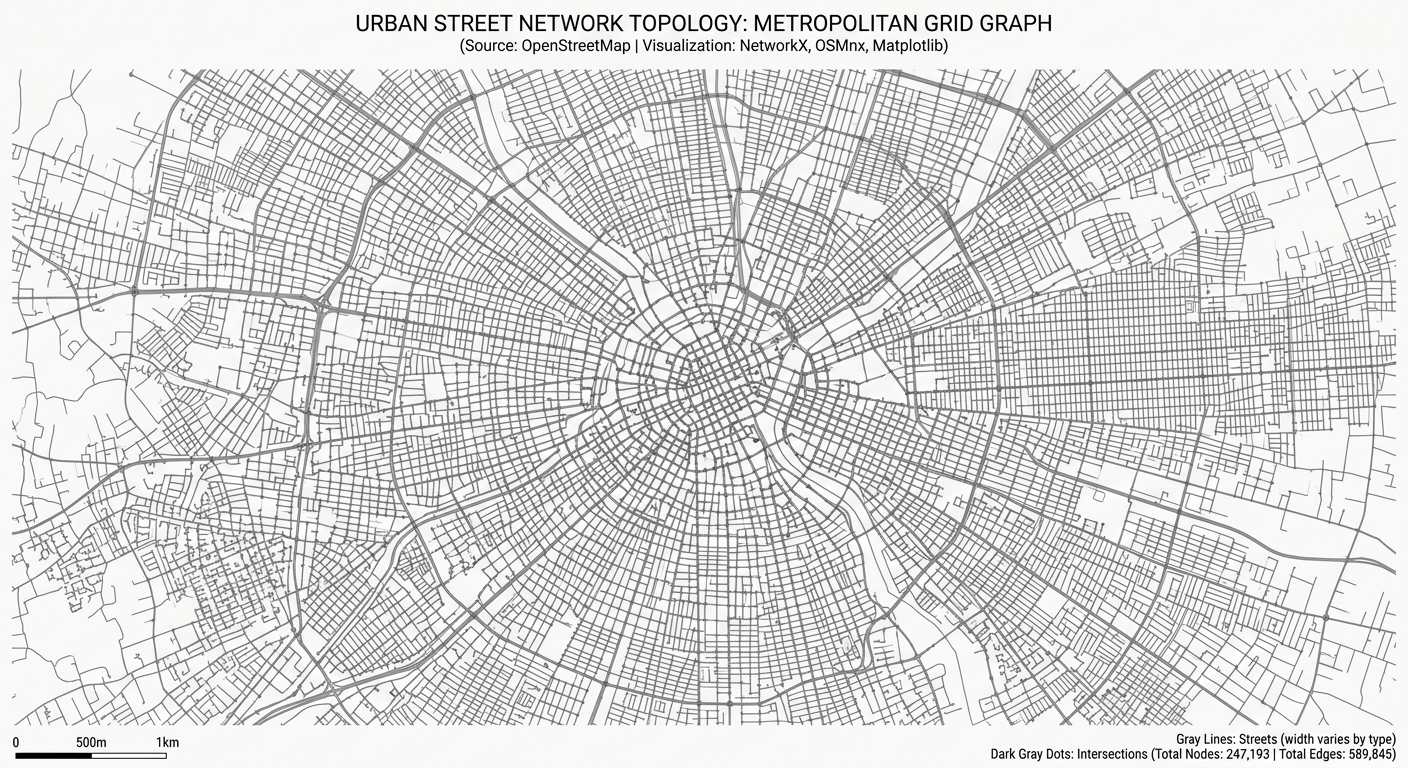
Analyzing Spatial Networks in Python with OSMnx and NetworkX

workflow diagram for OSMnx NetworkX Python spatial network analysis

Analyzing Spatial Networks in Python with OSMnx and NetworkX Introduction Urban street networks shape how people move through cities and access essential services. The arrangement of intersections, road segments, and pedestrian pathways influences travel distance, route choice, and accessibility to schools, hospitals, public transport, and employment. For urban planners and geospatial analysts, understanding these relationships … Read more

Processing LiDAR Point Clouds: Extracting Canopy Height Models (CHM) in QGIS & CloudCompare

Processing LiDAR Point Clouds: Extracting Canopy Height Models (CHM) in QGIS & CloudCompare 1. Processing LiDAR Point Clouds: Extracting Canopy Height Models (CHM) in QGIS & CloudCompare: Introduction Light Detection and Ranging (LiDAR) is a remote sensing technology that uses laser pulses to measure distances between a sensor and objects on the Earth’s surface. Airborne … Read more

Client-Side Spatial Analysis in Web GIS Using Turf.js and Mapbox GL JS

Client-Side Spatial Analysis in Web GIS Using Turf.js and Mapbox GL JS 1. Introduction to Client-Side Spatial Analysis in Web GIS Using Turf.js and Mapbox GL JS Traditional web GIS applications often send spatial queries to a backend service, which processes the request using a spatial database or geoprocessing engine before returning the results to … Read more

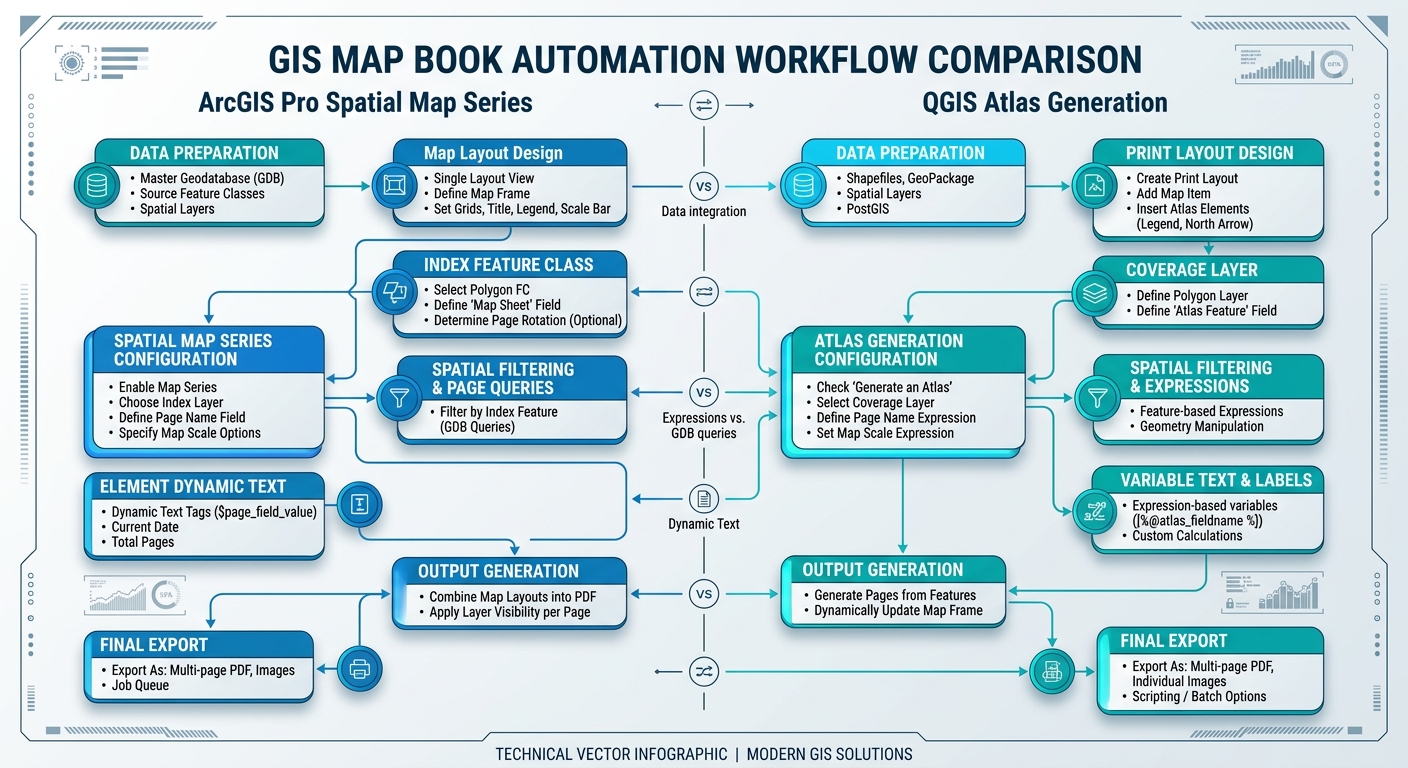
Automating PDF Map Books and Atlases in ArcGIS Pro and QGIS

Automating PDF Map Books and Atlases in ArcGIS Pro and QGIS workflow comparison diagram

Automating PDF Map Books and Atlases in ArcGIS Pro and QGIS Introduction to Automating PDF Map Books and Atlases in ArcGIS Pro and QGIS Manually producing multi-page map series for extensive linear infrastructure (such as highways, pipelines, transmission corridors, and rivers) or multi-district administrative reporting is an inefficient and error-prone process. Creating individual layouts for … Read more

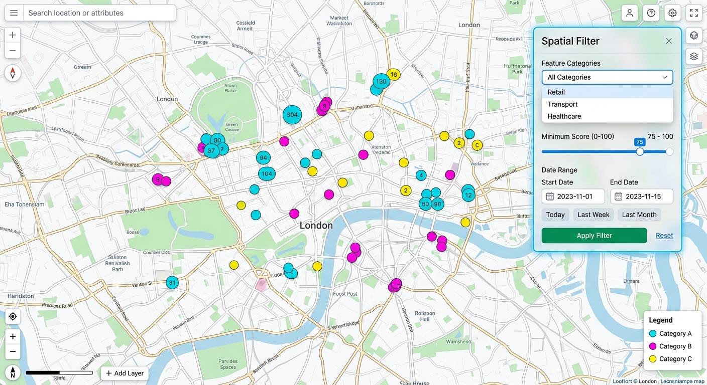
Building Custom Leaflet Control Widgets for Interactive Spatial Filtering

Building Custom Leaflet Control Widgets for Interactive Spatial Filtering user interface preview on a web map

Building Custom Leaflet Control Widgets for Interactive Spatial Filtering: Introduction 1.Building Custom Leaflet Control Widgets for Interactive Spatial Filtering: Introduction Leaflet provides built-in map controls for zooming, layer selection, scale display, and attribution. These controls are essential for navigation, but advanced Web GIS applications often require more specialized interactions. Consider a web mapping application used … Read more