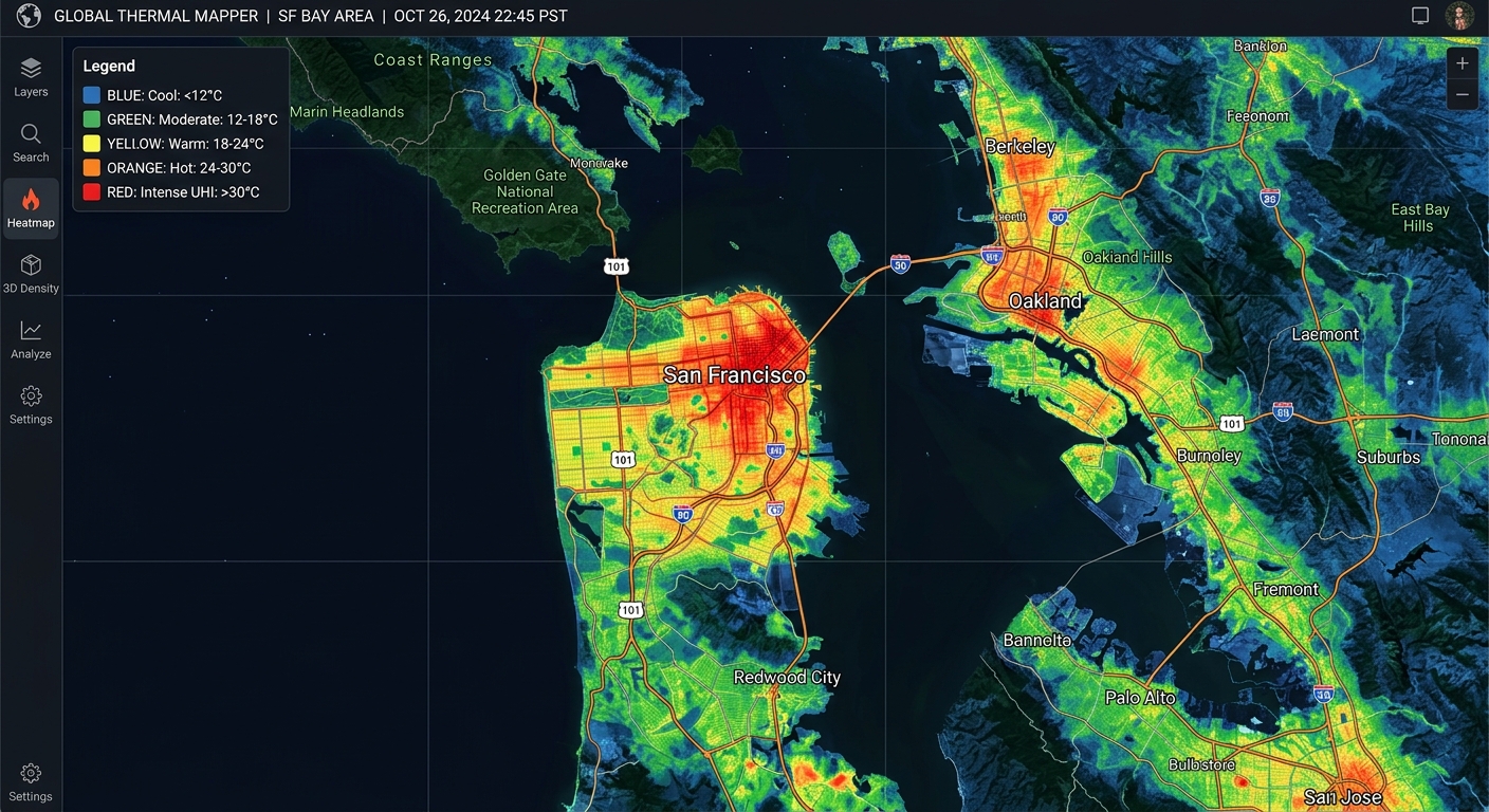
Urban Heat Island Mapping: Calculating Land Surface Temperature (LST) from Landsat TIR Bands

Urban Heat Island Mapping Landsat LST Tutorial

Urban Heat Island Mapping: Calculating Land Surface Temperature (LST) from Landsat TIR Bands 1. Introduction: Mapping Urban Heat Islands with Landsat This Urban Heat Island Mapping Landsat LST Tutorial explores how built-up areas exhibit higher temperatures than their surrounding rural or less-developed environments. Urban Heat Islands (UHIs) occur when built-up areas exhibit higher temperatures than … Read more
Web-Based Vector Editing with Mapbox GL Draw

Web-Based Vector Editing with Mapbox GL Draw 1. Introduction When building **Web Based Vector Editing Mapbox GL Draw** workflows, traditional desktop GIS software often creates friction for web users. Traditional vector digitizing workflows rely heavily on desktop GIS software such as QGIS and ArcGIS. These tools remain valuable for advanced editing and quality assurance, but … Read more

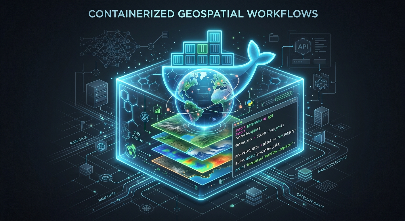
Containerizing Geospatial Pipelines with Docker: Bundling GDAL, QGIS Scripts, and Python

Containerizing Geospatial Pipelines Docker

Containerizing Geospatial Pipelines with Docker: Bundling GDAL, QGIS Scripts, and Python 1. Introduction: Containerizing Geospatial Pipelines Docker When Containerizing Geospatial Pipelines Docker architectures efficiently, developers often struggle with native dependency management. Geospatial Python applications depend on more than Python packages. A seemingly simple script that clips a raster, reprojects vector data, or processes satellite imagery … Read more

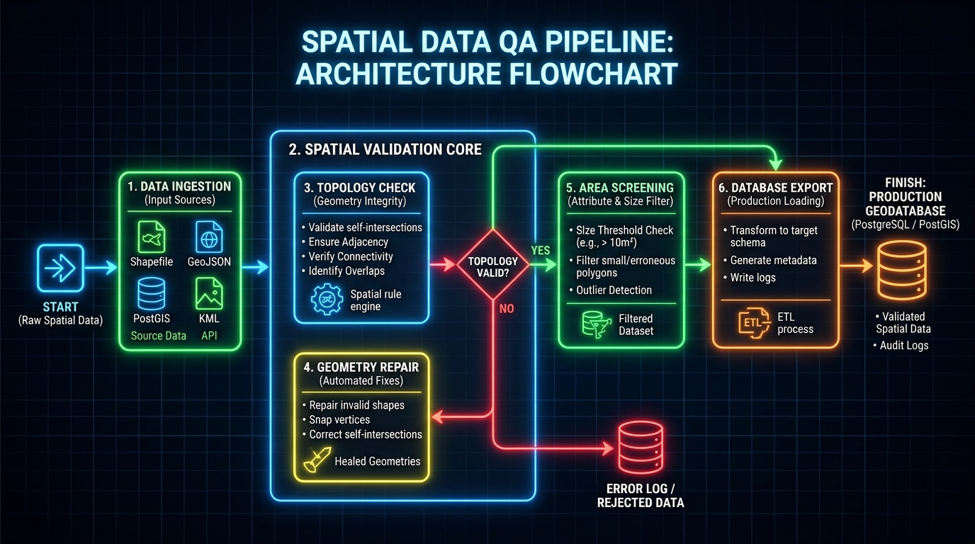
Automated Spatial QA/QC Pipelines: Detecting and Repairing Invalid Geometries with Python

Automated Spatial QA/QC Pipelines Python

Automated Spatial QA/QC Pipelines: Detecting and Repairing Invalid Geometries with Python 1. Introduction When building Automated Spatial QA/QC Pipelines Python workflows, spatial datasets often look correct on a map while containing geometric defects. Spatial datasets often look correct on a map while containing geometric defects that compromise spatial analysis, database imports, and automated GIS workflows. … Read more

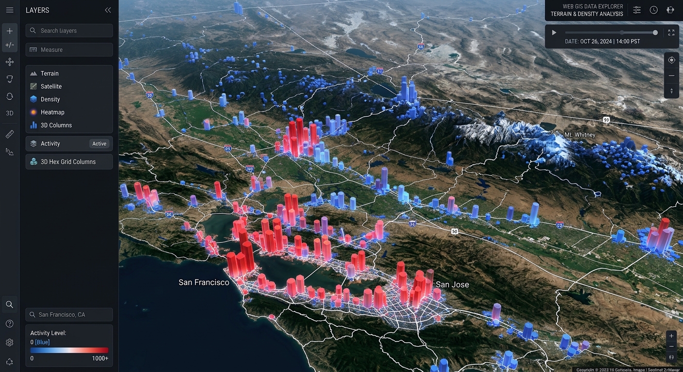
Creating 3D Web Scenes with Deck.gl and Mapbox GL JS

Create 3D Web Scenes Deck.gl Mapbox GL JS

Creating 3D Web Scenes with Deck.gl and Mapbox GL JS Introduction When you create 3D web scenes Deck.gl Mapbox GL JS, traditional two-dimensional maps often fall short when displaying massive spatial observations. Traditional web maps work well when displaying points, lines, and polygons in two dimensions. However, when a dataset contains hundreds of thousands of … Read more

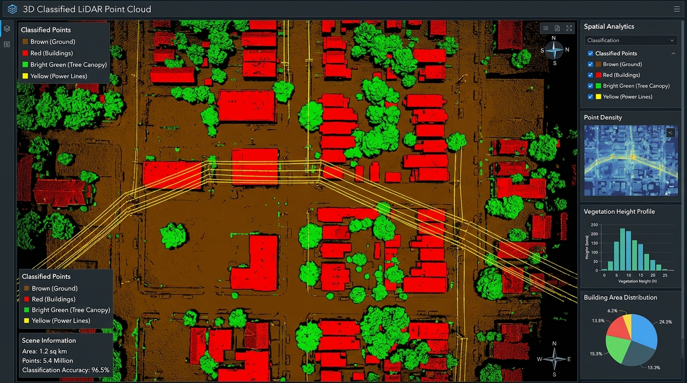
Programmatic LiDAR Point Cloud Classification in Python Using laspy and Scikit-Learn

Automated Metadata Generation Python ISO Standards

Programmatic LiDAR Point Cloud Classification in Python Using laspy and Scikit-Learn Introduction: sing Automated Metadata Generation Python ISO Standards in Practice When implementing  Automated Metadata Generation Python ISO Standards pipelines, geospatial professionals often struggle with manual XML template formatting. Light Detection and Ranging (LiDAR) technology captures detailed three-dimensional representations of the Earth’s surface by recording … Read more

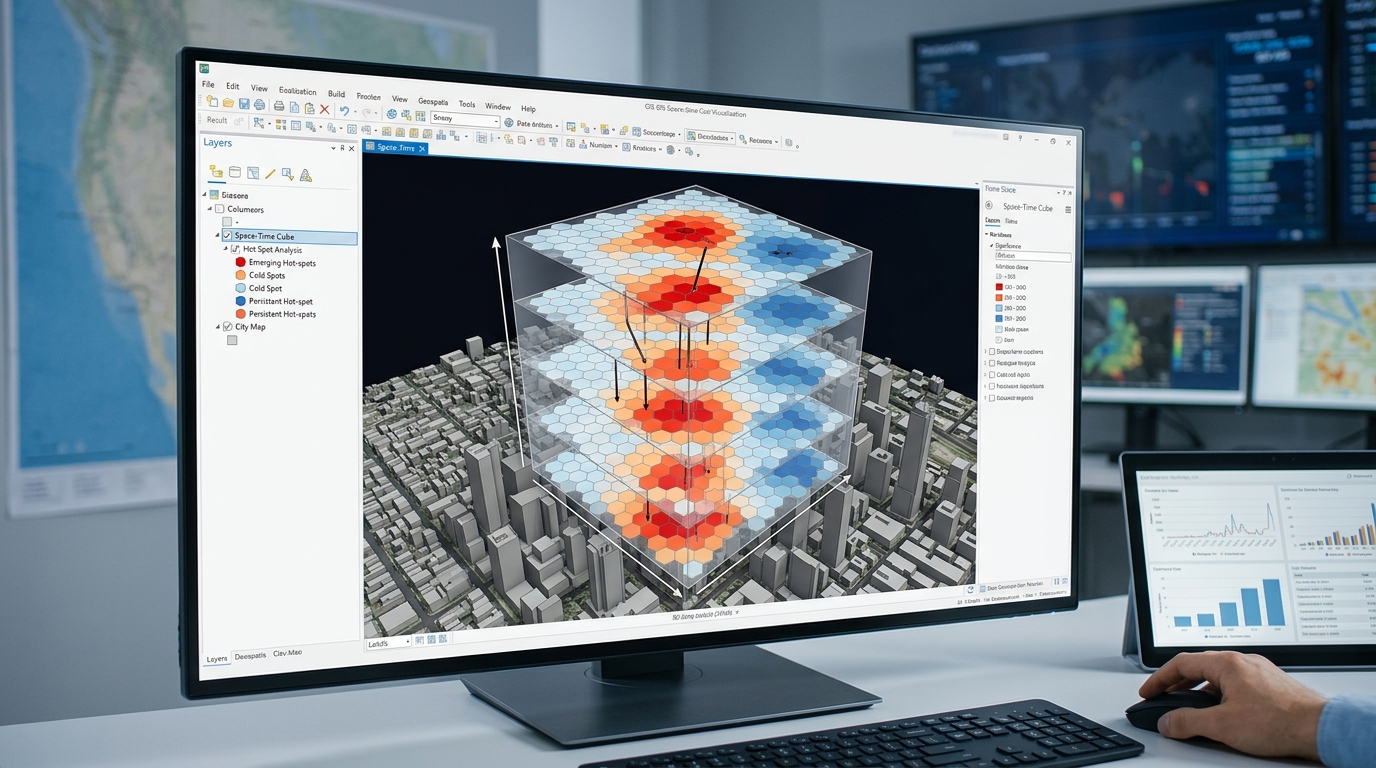
Space-Time Pattern Mining: Creating and Analyzing 3D Space-Time Cubes

Space Time Pattern Mining 3D Space Time Cubes

Space-Time Pattern Mining: Creating and Analyzing 3D Space-Time Cubes 1. Introduction: Moving beyond static maps When implementing space time pattern mining 3D space time cubes, traditional maps often conceal how geographic patterns develop over time. Traditional GIS maps show where events occur, but a static map can conceal how geographic patterns develop over time. A … Read more

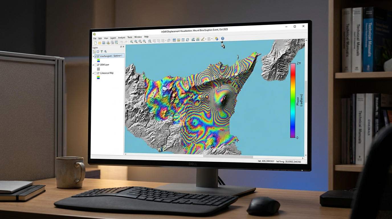
InSAR Surface Deformation Mapping: Tracking Ground Subsidence with Sentinel-1

InSAR Surface Deformation Mapping Sentinel 1 Subsidence

InSAR Surface Deformation Mapping: Tracking Ground Subsidence with Sentinel-1 1. Introduction: How InSAR detects ground subsidence When performing InSAR surface deformation mapping Sentinel 1 subsidence, detecting millimeters of ground displacement from satellite radar requires careful processing. Interferometric Synthetic Aperture Radar (InSAR) is a remote sensing technique that measures changes in the distance between a radar … Read more

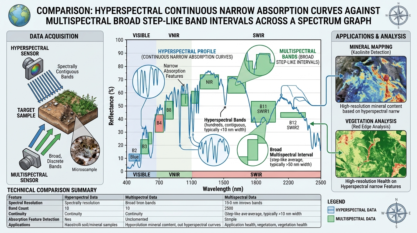
Hyperspectral vs Multispectral Remote Sensing: Spectral Resolution Explained

Hyperspectral vs Multispectral Remote Sensing Spectral Resolution comparison graph of spectral signatures

Hyperspectral vs Multispectral Remote Sensing: Spectral Resolution Explained 1. Introduction: Why spectral resolution matters Remote sensing allows researchers to investigate Earth’s surface by measuring electromagnetic energy reflected, emitted, or scattered by objects. Different materials interact with electromagnetic radiation differently, producing patterns that can help distinguish vegetation, soil, minerals, water, and built surfaces. However, the usefulness … Read more

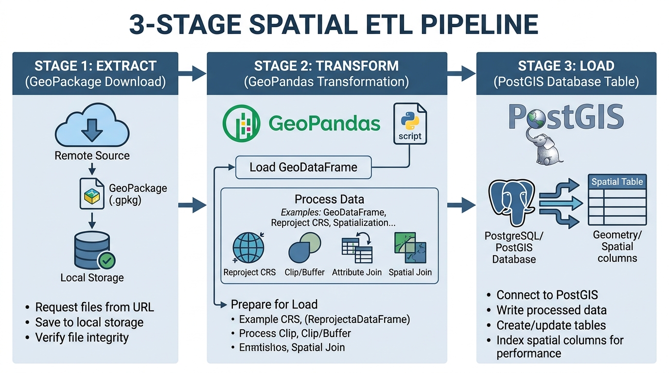
Automating Spatial ETL Pipelines with Apache Airflow and GeoPandas

Automating Spatial ETL Pipelines Apache Airflow GeoPandas extraction transformation loading diagram

Automating Spatial ETL Pipelines with Apache Airflow and GeoPandas 1. Introduction: Why automate spatial ETL? When you are automating spatial ETL pipelines Apache Airflow GeoPandas, building a repeatable workflow that retrieves geospatial data becomes essential. To automate spatial ETL with Apache Airflow and GeoPandas is to build a repeatable workflow that retrieves geospatial data, validates … Read more