Managing Large Geospatial Datasets Locally with DuckDB and the Spatial Extension
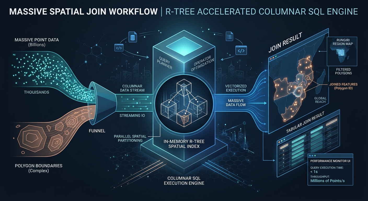
Managing Large Geospatial Datasets Locally with DuckDB and the Spatial Extension Introduction Large geospatial datasets can expose the limitations of conventional desktop GIS workflows. Opening a multi-gigabyte vector file may involve parsing geometry, decoding attributes, building rendering structures, and loading data into memory before an analyst can begin meaningful exploration. When a project contains millions … Read more