

Top 5 Freelance GIS Platforms & How to Win Your First Mapping Contract
Top 5 Freelance GIS Platforms & How to Win Your First Mapping Contract is essential when transitioning from a GIS student or recent graduate into a paid professional.. However, geospatial expertise is in high demand globally. Businesses, researchers, real estate developers, and local government contractors regularly need spatial analysis, map visualization, and geodata processing, but they lack full-time GIS staff.
Monetizing your spatial skills as a freelancer is the single fastest way to gain real-world project experience, build an impactful portfolio, and earn an income while still in university. Learning the intricacies of the Top 5 Freelance GIS Platforms & How to Win Your First Mapping Contract helps bridge the gap between academic theory and commercial project delivery. Successfully navigating the Top 5 Freelance GIS Platforms & How to Win Your First Mapping Contract transforms basic spatial data processing into a reliable remote income stream.
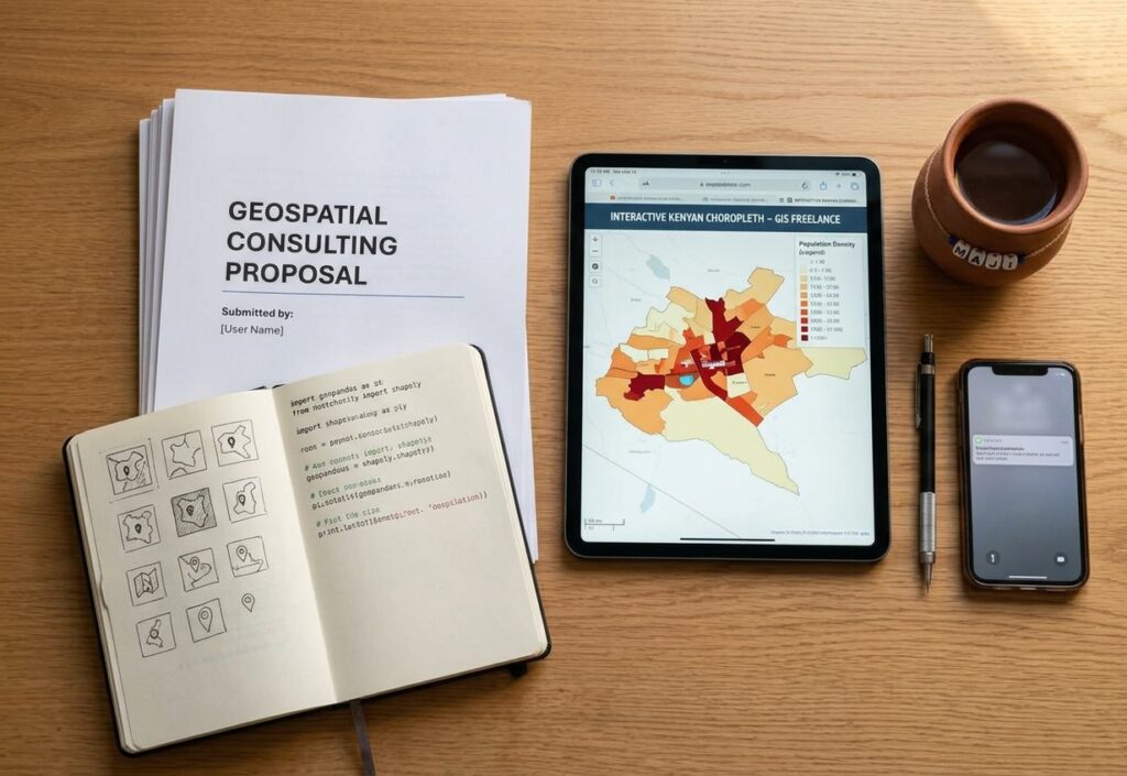
Top 5 Freelance Marketplaces for GIS Work
Marketplace Overview
├── Upwork          → Best for recurring client contracts & Python ETL
├── Fiverr          → Best for packaged, fixed-scope map layouts
├── Freelancer.com  → Best for competitive bidding on vector digitizing
├── PeoplePerHour   → Best for UK/European planning & GIS consultancies
└── Niche Boards    → GIS Lounge, SpatialReserves & specialized networks

1. Upwork : Top 5 Freelance GIS Platforms & How to Win Your First Mapping Contract
Best for long-term technical contracts, Web GIS, and Python spatial automation.
Upwork hosts the largest volume of high-paying geospatial job postings. Clients here actively recruit for remote sensing pipelines (e.g., Sentinel SAR processing), PostGIS spatial database setups, and custom Python automation scripts (using
geopandas, shapely, and arcpy).-
Why it works for students: You can start with smaller, fixed-price tasks (like georeferencing scanned blueprints) to earn initial client reviews before pitching for higher-rate hourly contracts.
When starting on Top 5 Freelance GIS Platforms & How to Win Your First Mapping Contract, you can begin with smaller, fixed-price tasks.
2. Fiverr
Best for fixed-scope cartographic layouts and quick vector digitizing.
Unlike traditional bidding platforms where you pitch on job posts, Fiverr flips the model: clients browse and buy pre-packaged services (“Gigs”).
-
Why it works for students: You control the scope completely. You can sell specific deliverables such as “I will create a 3D elevation map for your real estate site plan” or “I will digitize 50 parcel boundaries from PDF to GeoJSON.”
3. Freelancer.com
Best for global bidding on data entry, digitizing, and spatial conversion.
Freelancer.com features a steady stream of entry-level spatial projects—ranging from transferring paper maps to GIS vector files to conducting open-source research for real estate land analysts.
-
Why it works for students: The platform regularly holds public map design and data processing contests. Participating in these contests lets you build your portfolio with real client briefs even if you don’t win the bid immediately.
4. PeoplePerHour
Best for UK/European environmental consultancies and regional planning jobs.
PeoplePerHour is popular among UK and European urban planning firms, landscape architects, and civil engineering outfits. You’ll frequently spot requests for Site Context Plans, Zone of Theoretical Visibility (ZTV) maps, and local council dataset integration.
-
Why it works for students: Clients on this platform value structured cartographic templates and clear communication over enterprise software architecture, making it ideal for standard QGIS/ArcGIS Pro cartographers.
5. Niche GIS Networks & Job Boards
Best for high-quality, non-competitive client outreach.
Beyond general freelance platforms, dedicated geospatial job boards—such as GIS Lounge Job Board, Geospatial Jobs, and specialized GIS Slack/Discord communities (like Geospatial Python or QGIS Community)—frequently post short-term contract work.
-
Why it works for students: These boards have zero platform commission fees and significantly less spam competition than massive freelance marketplaces.
Winning Strategy for Beginners: Landing Your First Contract
1. Crafting a Problem-Solving Proposal
Most beginners fail because their proposals read like a university resume (“I am proficient in ArcMap, QGIS, and spatial buffers”). Clients do not buy software features; they buy solutions to business problems.
Weak Pitch:“Hi, I am a 3rd-year GIS student. I know QGIS, spatial joins, and buffer analysis. I can make your map using shapefiles.”
Winning Pitch:“Hi [Client Name], I reviewed your request for a retail location site plan. I can map your candidate properties alongside local population density and traffic corridors so you can clearly see which location offers the highest customer access. I’ll deliver a print-ready 300 DPI PDF layout plus a web-interactive HTML map for your team review within 48 hours.”
When evaluating the Top 5 Freelance GIS Platforms & How to Win Your First Mapping Contract, students must carefully balance pricing strategy with high portfolio standards.
2. Setting Competitive Student Freelance Rates
Setting your rate requires balancing credibility with getting your foot in the door:
| Stage | Hourly Rate Range | Strategy |
| First 1–3 Contracts | $12 – $20 / hr (or $25 – $50 fixed-price) | Price competitively to lower the client’s decision friction and secure your first 5-star review. |
| Intermediate (5+ Reviews) | $25 – $45 / hr | Raise your rates as you add complex services like Python scripting, Web GIS (Leaflet/Mapbox), or Remote Sensing. |
Never work for free or for “exposure.” Low fixed-price budgets ($30–$50) are fine for your first milestone as long as the scope is strictly limited.
3. Delivering Clean Deliverables & Source Data
To turn a one-time job into a recurring client, establish professional delivery habits:
-
Clean Layer Structure: Organize geodatabase/GeoPackage layers with intuitive naming conventions (avoid
layer_v2_final_FINAL.shp). -
Complete Packages: Always export final map layouts in 300 DPI PDF/PNG formats, and include a self-contained spatial dataset folder with relative paths.
-
Documentation: Provide a brief 1-page PDF README explaining dataset sources, Coordinate Reference Systems (CRS/projection used), and metadata notes.
Red Flags to Avoid with Freelance Clients
-
Unclear Scope (“Scope Creep”): Clients who ask for “a quick map” without providing input data, spatial extent, or clear output criteria. Always define the exact deliverable list before starting work.
-
Off-Platform Communication Prior to Contract: Clients who insist on moving to Telegram, WhatsApp, or email before an official contract/escrow is active on the platform. This is almost always a payment scam or TOS violation.
-
Unrealistic Precision Requests: Be cautious of clients asking for sub-meter accuracy while supplying unprojected, low-resolution JPEG images or ungeoreferenced hand-drawn sketches.
Summary
Winning your first freelance GIS contract isn’t about having a master’s degree or 10 years of experience—it’s about demonstrating that you can take messy spatial data, analyze it accurately, and present it clearly to non-technical stakeholders. Focus on building 2 or 3 solid portfolio items, pitch solutions rather than software jargon, and deliver clean, professional packages every time. Mastering Top 5 Freelance GIS Platforms & How to Win Your First Mapping Contract isn’t about having a master’s degree or 10 years of experience—it’s about demonstrating that you can take messy spatial data. Learning the intricacies of the Top 5 Freelance GIS Platforms & How to Win Your First Mapping Contract helps bridge the gap between academic theory and commercial project delivery.